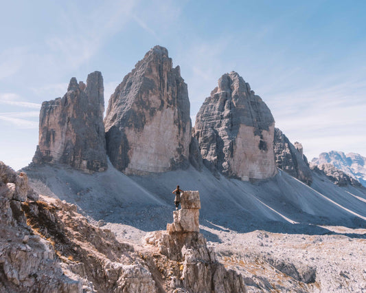
Walk to Col Margherita 🚶🏼♀️
Walk to Col Margherita
1
/
of
5
Compartir
 Curated by Mauro . Mountain Guides.
🗺️ Where is it located?
🗺️ Where is it located?
Region: Trentino-Alto Adige
Province: TN
Municipality: St. Martin of Castrozza
⛰️ Who is it suitable for?
⛰️ Who is it suitable for?
Difficulty Simple , code E .
🤩 What are we doing?
🤩 What are we doing?
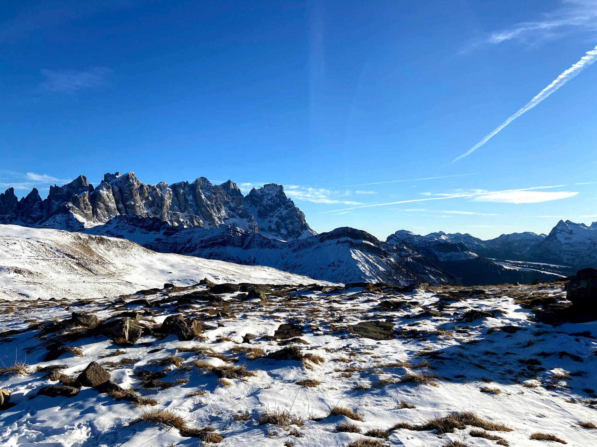
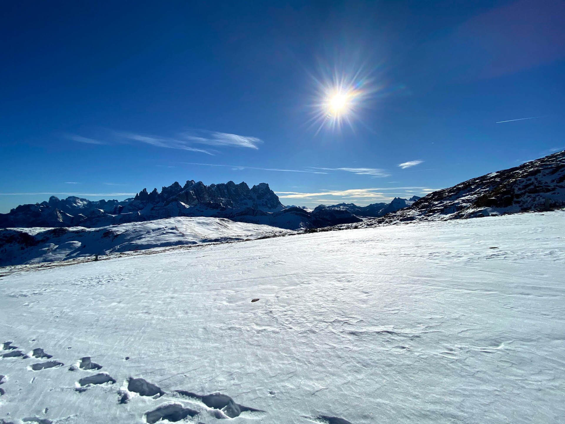
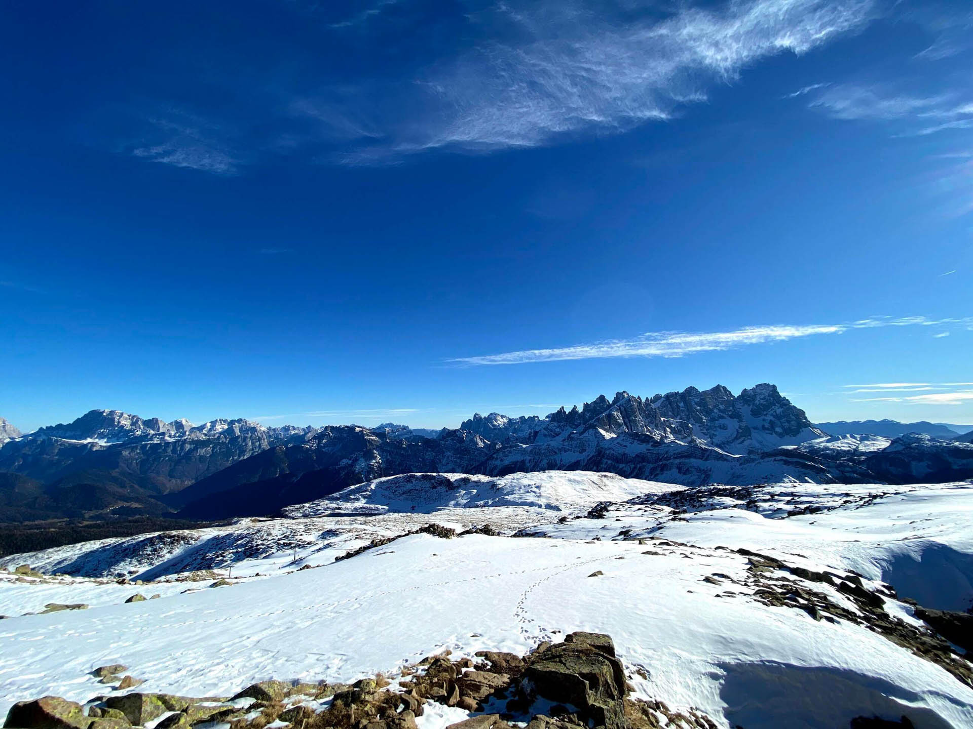
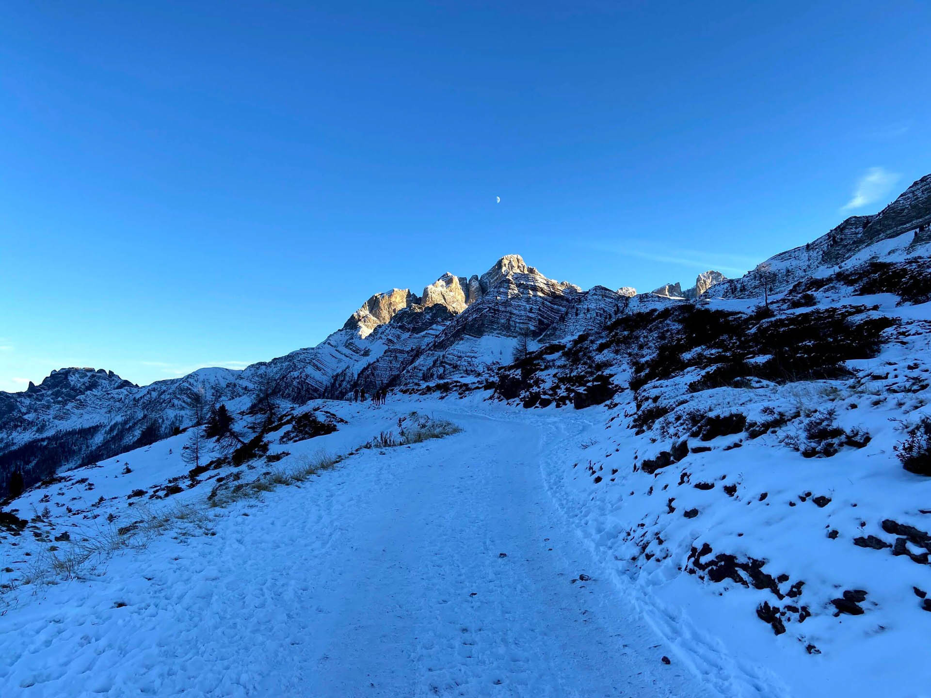
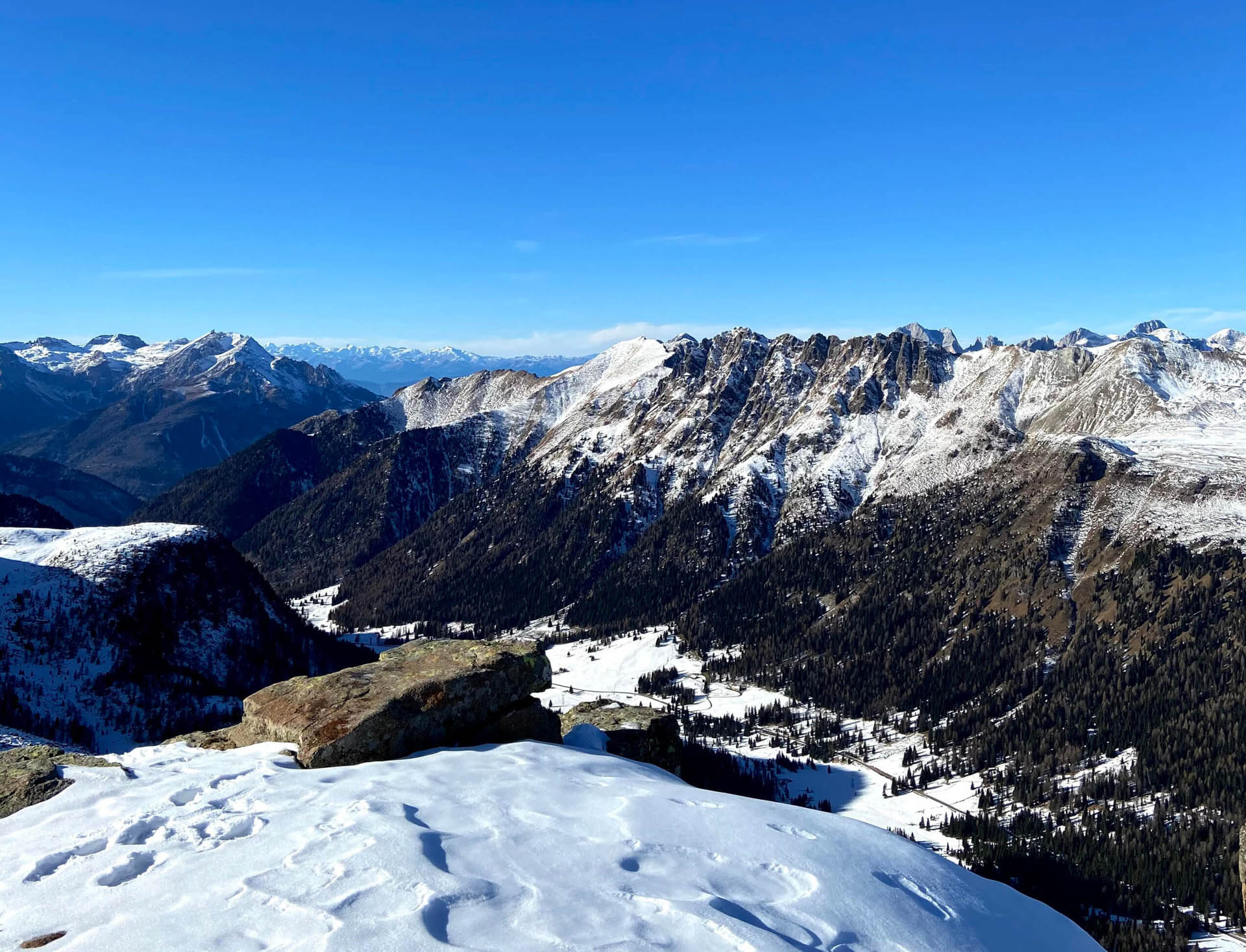
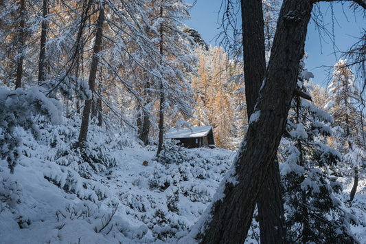
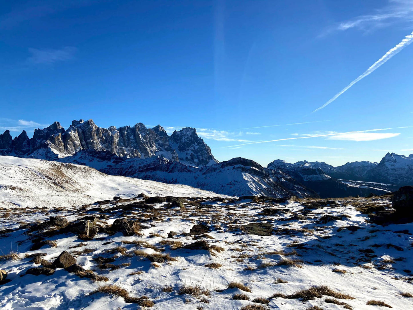
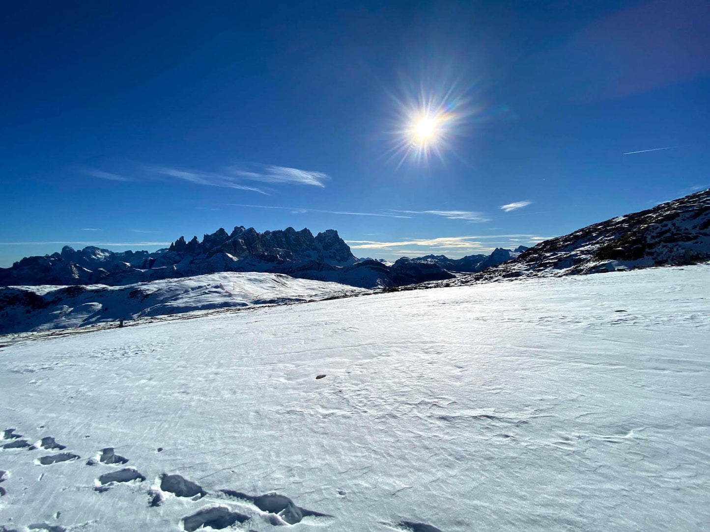
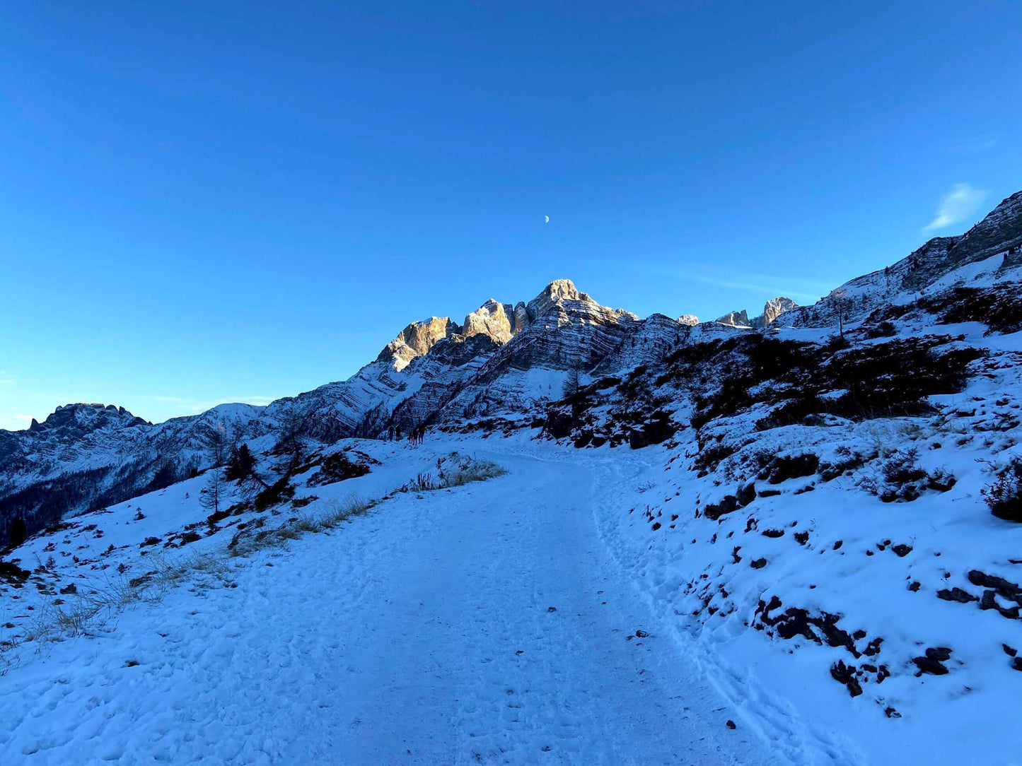
Easy excursion in a snowy environment beaten by a snowcat, where with freshly fallen snow it is also possible to use snowshoes.
🏔 Curiosities of the place
🏔 Curiosities of the place
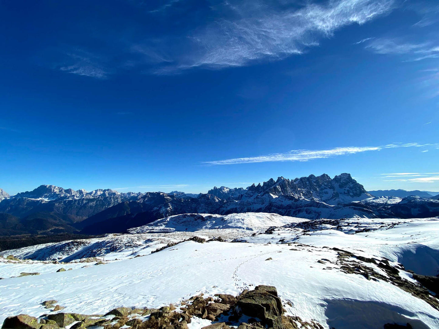
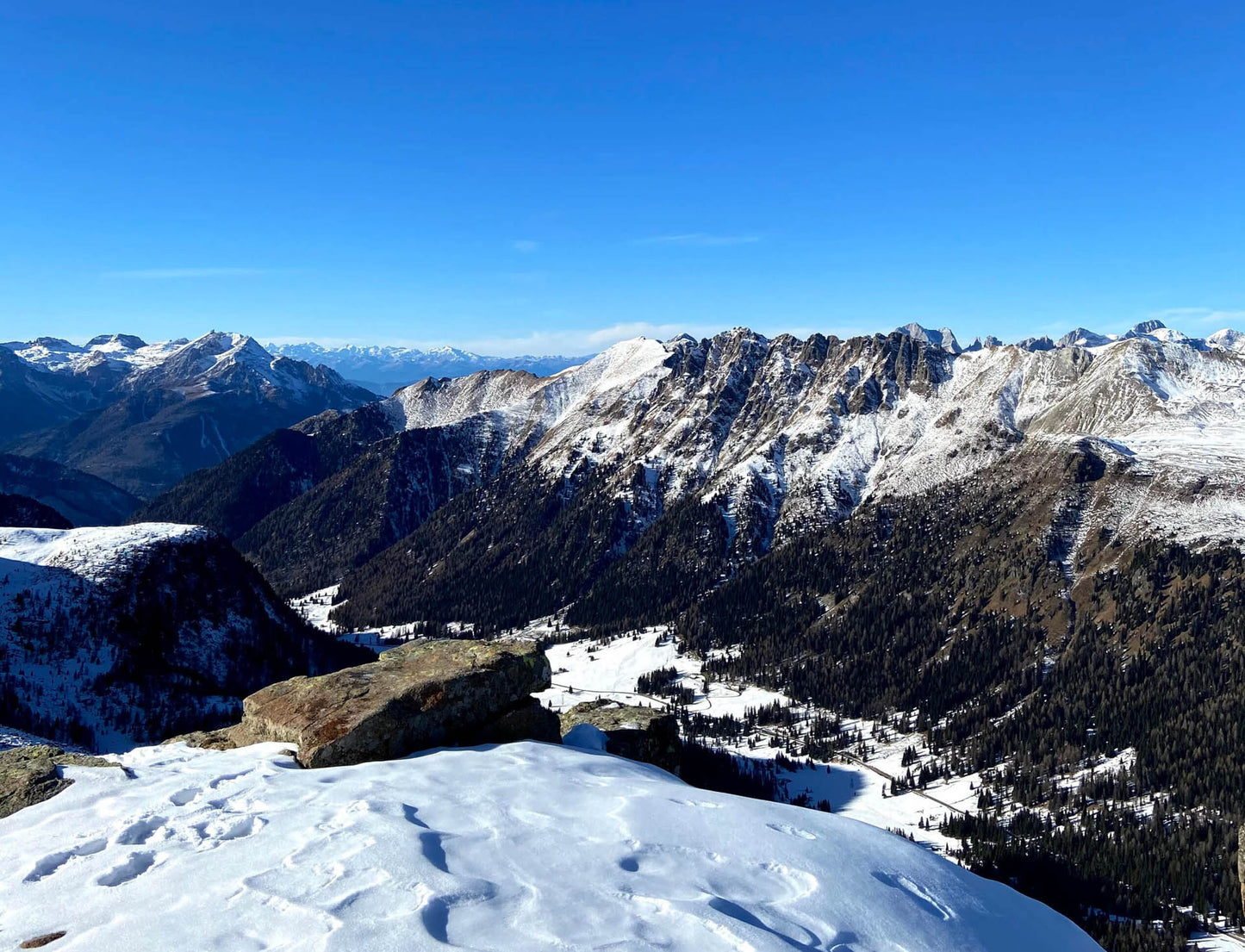
On the border between Veneto and Trentino, an easy and panoramic peak from which you will have a splendid 360° view towards Marmolada, Pelmo, Civetta and Pale di San Martino.
🎯 Practical advice
🎯 Practical advice
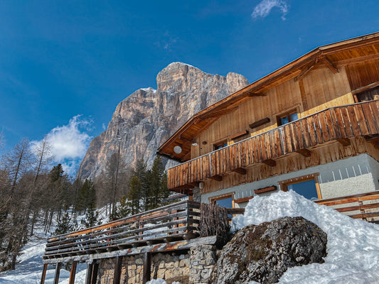
If you want to eat at Rifugio InAlto we recommend you book given its cuisine and popularity.
Information
Path
Code: Lover's Sentiments - 658
Distance: 11.0 km
Duration: 3 hours and 27 minutes
Elevation difference: 460.0 meters d+
Parking
Location: Refuge Capanna Passo Valles
Altitude: 2032 m
Phone: 390437599136
Email: info@passovalles.com
Site: http://www.passovalles.com/
Arrive
Location: Col Margherita
Altitude: 2513 m
Phone:
Email:
Site:
Period
Season: All year round
Resources and useful links to help you plan your excursion:
Summit Diary
Join those who love the mountains. Share your experience and help others live a unique adventure, respecting and preserving nature. Your opinion makes the difference.
Discover other itineraries
-
Snowshoeing to the Dibona Refuge
📍 Cortina d'Ampezzo, BLSimple, T -
Excursion to Cima Socede
📍 Scurelle, TNIntermedia, AND AND -
Snowshoeing at Baita Angelini
📍 Pralongo, BLIntermedia, AND AND -
Circular walk of the Three Peaks of Lavaredo
📍 Auronzo of Cadore, BLSimple, E

