Hike and Kaiserjager trail to Rifugio Lagazuoi 🚶🏼♀️
Hike and Kaiserjager trail to Rifugio Lagazuoi
1
/
of
9
Compartir
 Curated by Mauro . Mountain Guides.
🗺️ Where is it located?
🗺️ Where is it located?
Region: Veneto
Province: BL
Municipality: Cortina d'Ampezzo
⛰️ Who is it suitable for?
⛰️ Who is it suitable for?
Difficulty Intermedia , code AND AND .
🤩 What are we doing?
🤩 What are we doing?
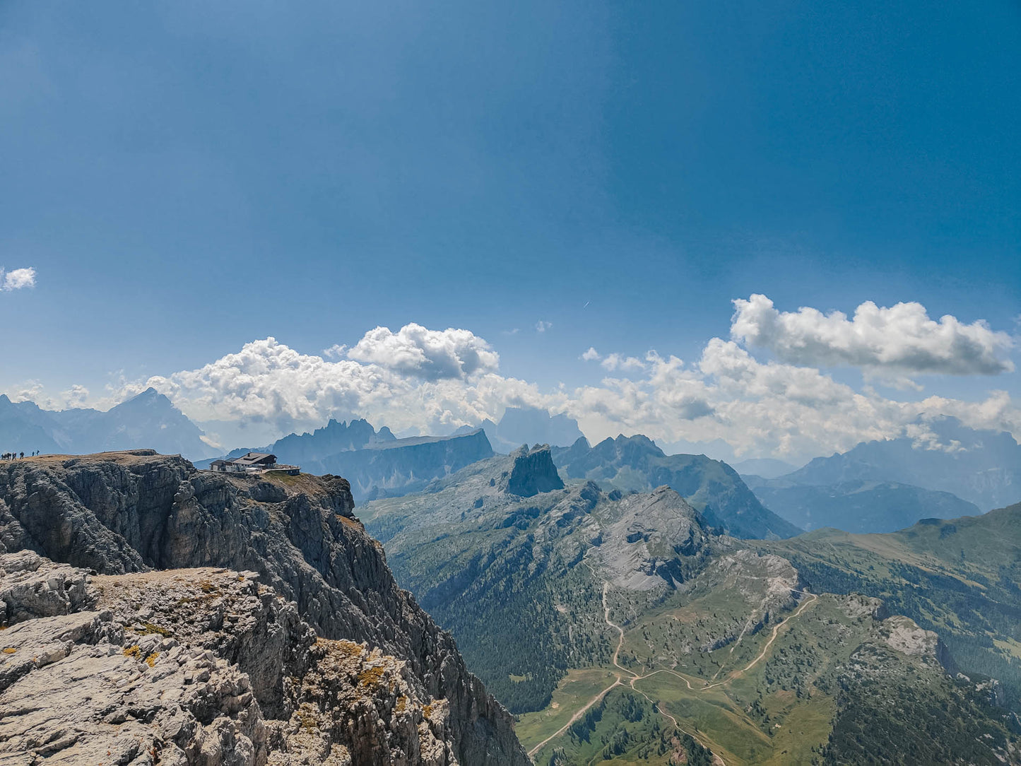
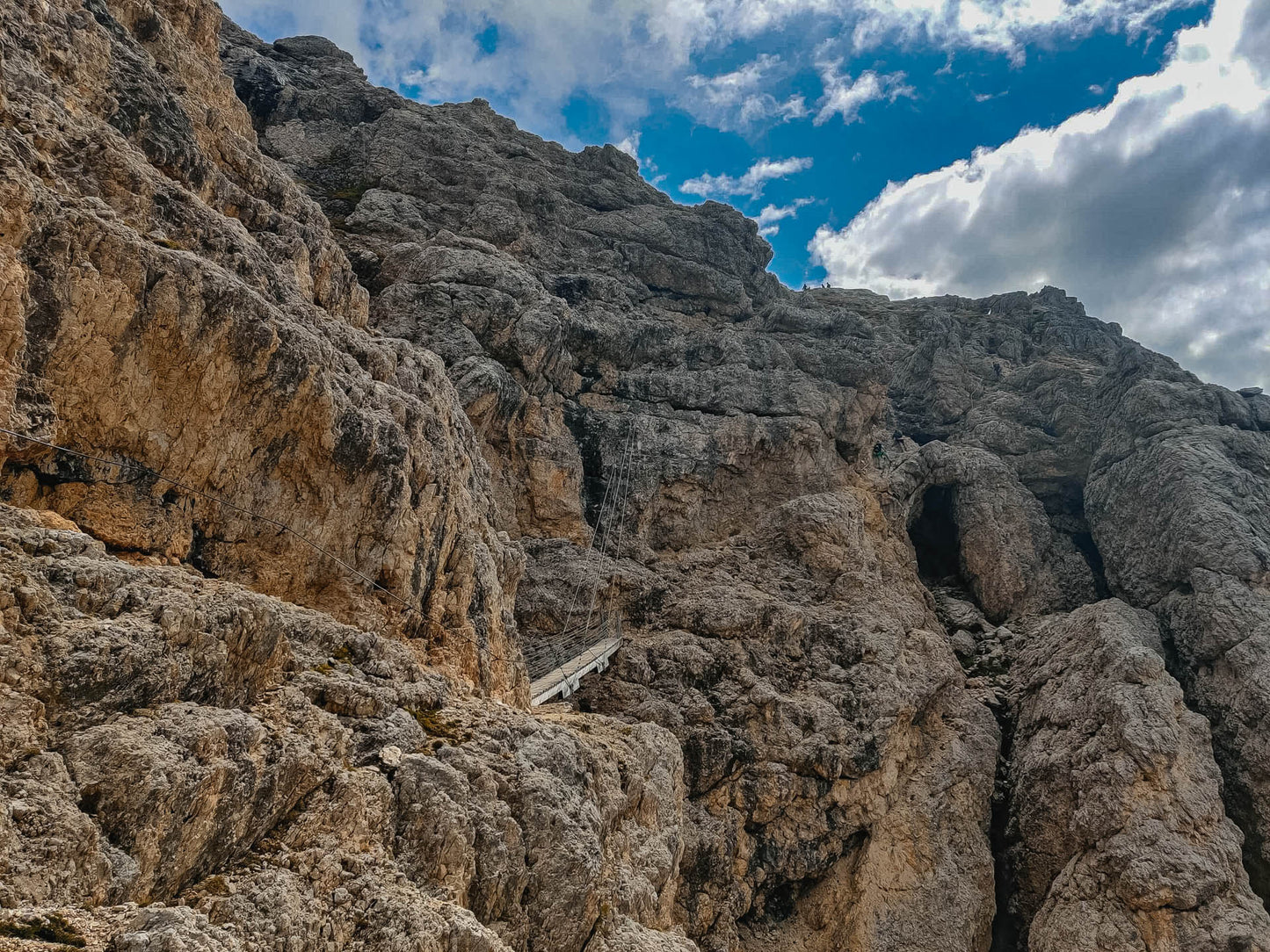
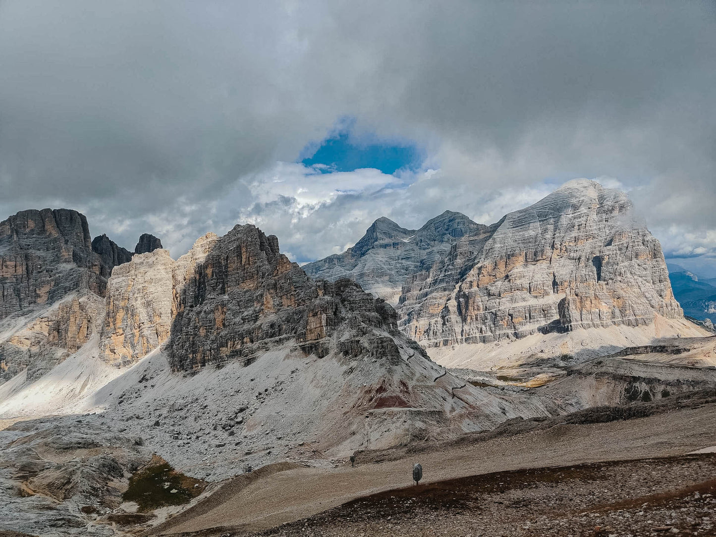
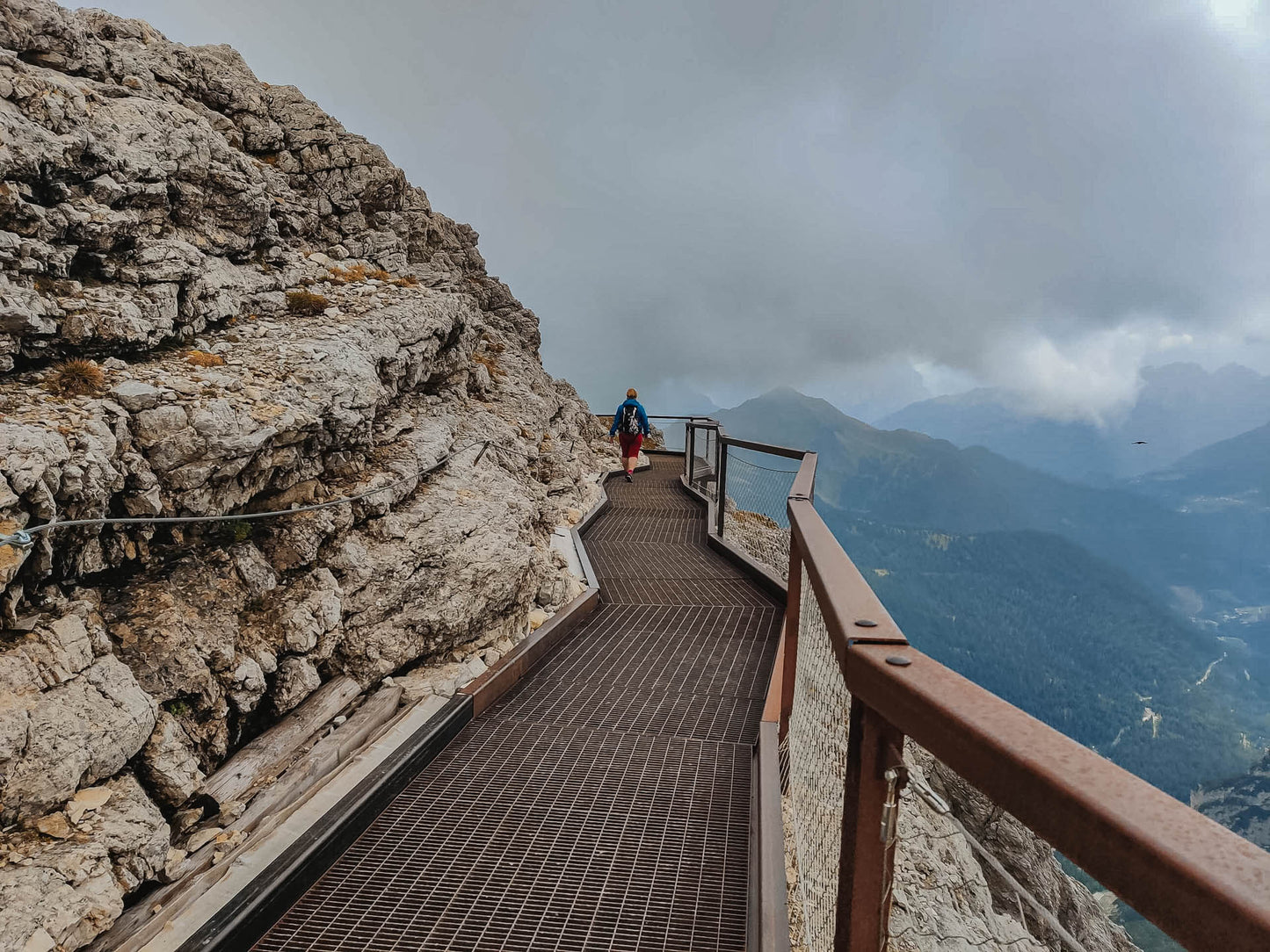
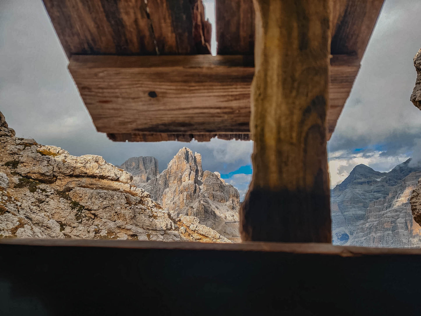
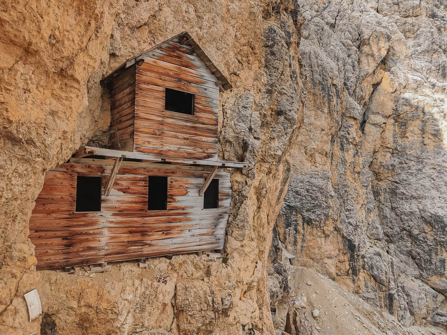
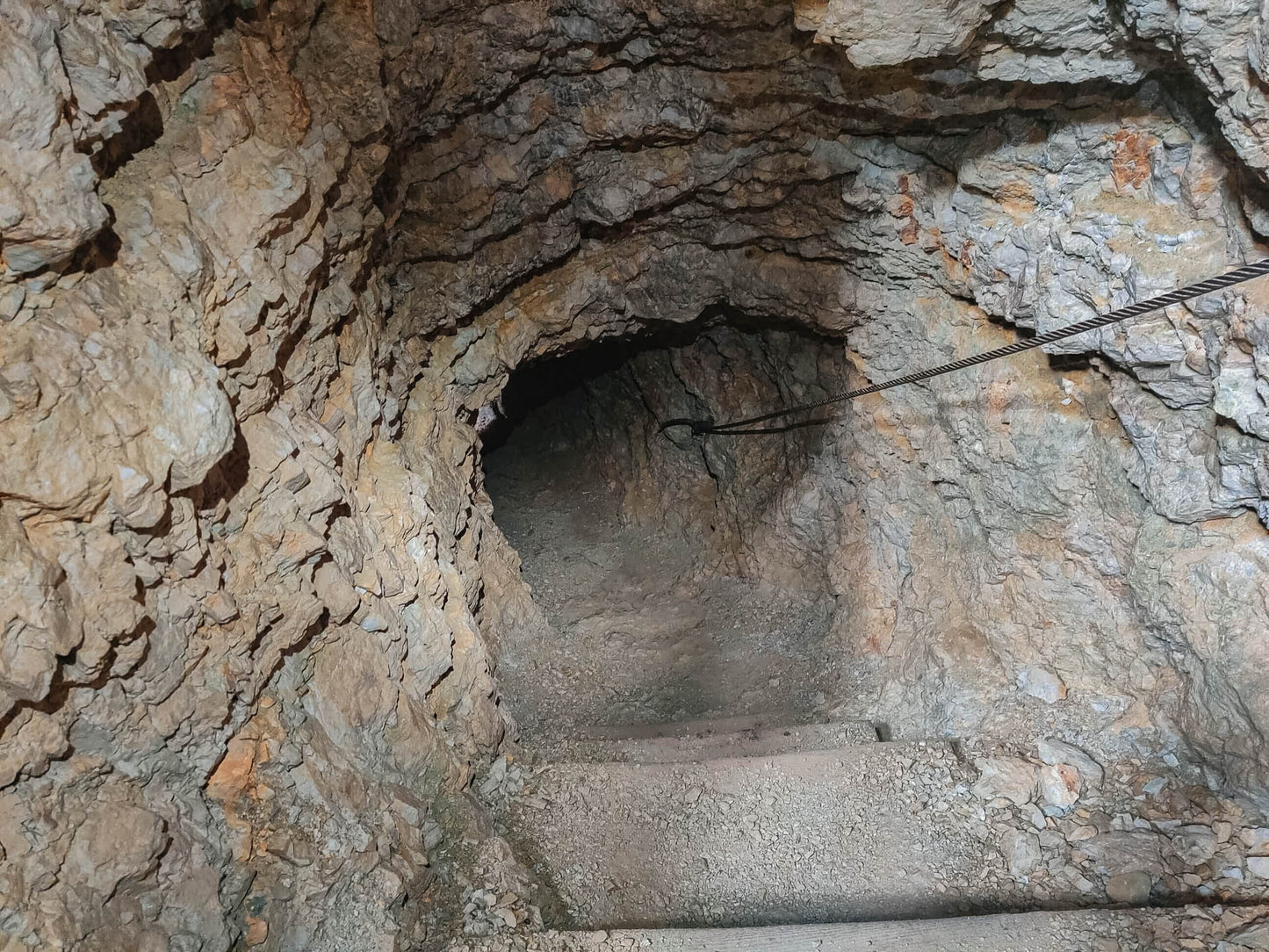
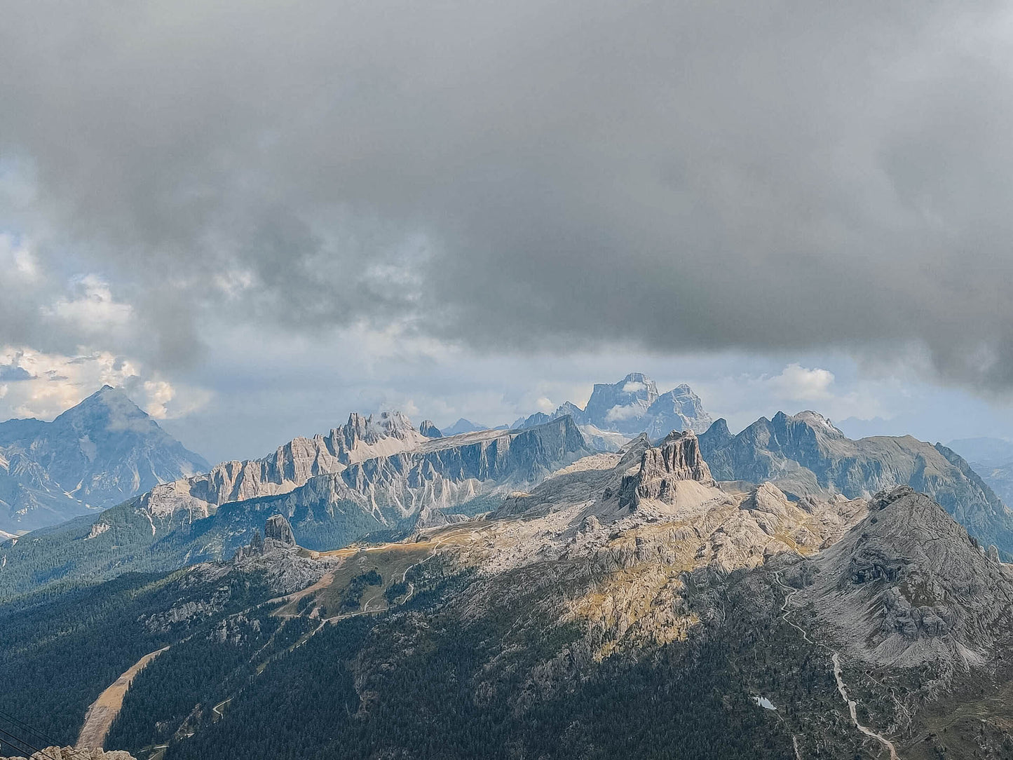
The itinerary, different from the simpler one directly to Lagazuoi, allows you to walk on war paths, inside tunnels on the mountain and strategic ledges, including the famous Cengia Martini.
🏔 Curiosities of the place
🏔 Curiosities of the place
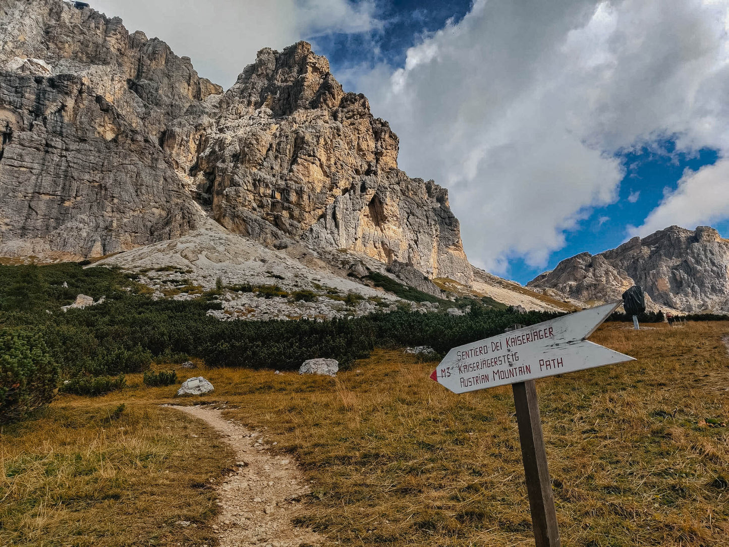
Before 1963, on the summit of Lagazuoi there were only the remains of a terrible World War and a trigonometric point where the refuge now stands. During the Great War, the Kaiserjäger path was the communication route between the valley floor and the Austrian positions at high altitude on Lagazuoi.
🎯 Practical advice
🎯 Practical advice
If you want to walk through the tunnels of the First World War, bring a helmet and torch!
Information
Path
Code: Kaiserjager - Galleries - Martini Ledge
Distance: 6.8 km
Duration: 4 hours and 08 minutes
Elevation difference: 720.0 meters d+
Parking
Location: Falzarego Pass Parking
Altitude: 1888 m
Phone:
Email:
Site:
Arrive
Location: Lagazuoi Refuge
Altitude: 2752 m
Phone: +39 340 7195306
Email: info@rifugiolagazuoi.com
Site: https://rifugiolagazuoi.com
Period
Season: Summer
Resources and useful links to help you plan your excursion:
Summit Diary
Join those who love the mountains. Share your experience and help others live a unique adventure, respecting and preserving nature. Your opinion makes the difference.
Discover other itineraries
-
Snowshoeing to the Dibona Refuge
📍 Cortina d'Ampezzo, BLSimple, T -
Excursion to Cima Socede
📍 Scurelle, TNIntermedia, AND AND -
Snowshoeing at Baita Angelini
📍 Pralongo, BLIntermedia, AND AND -
Circular walk of the Three Peaks of Lavaredo
📍 Auronzo of Cadore, BLSimple, E


