Excursion to Lake Volaia 🚶🏼♀️
Excursion to Lake Volaia
1
/
of
5
Compartir
 Curated by Manuela . Mountain Guides.
🗺️ Where is it located?
🗺️ Where is it located?
Region: Friuli-Venezia-Giulia
Province: UD
Municipality: Hill
⛰️ Who is it suitable for?
⛰️ Who is it suitable for?
Difficulty Intermedia , code AND AND .
🤩 What are we doing?
🤩 What are we doing?
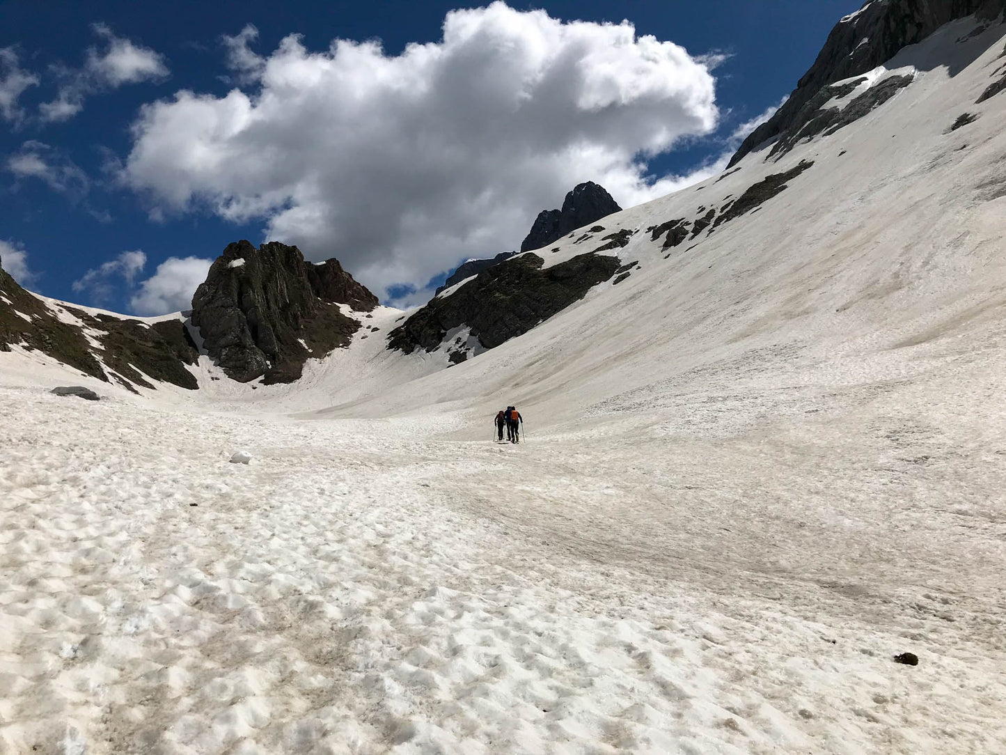
The hike never has significant slopes but still requires good training in walking on different types of paths.
🏔 Curiosities of the place
🏔 Curiosities of the place
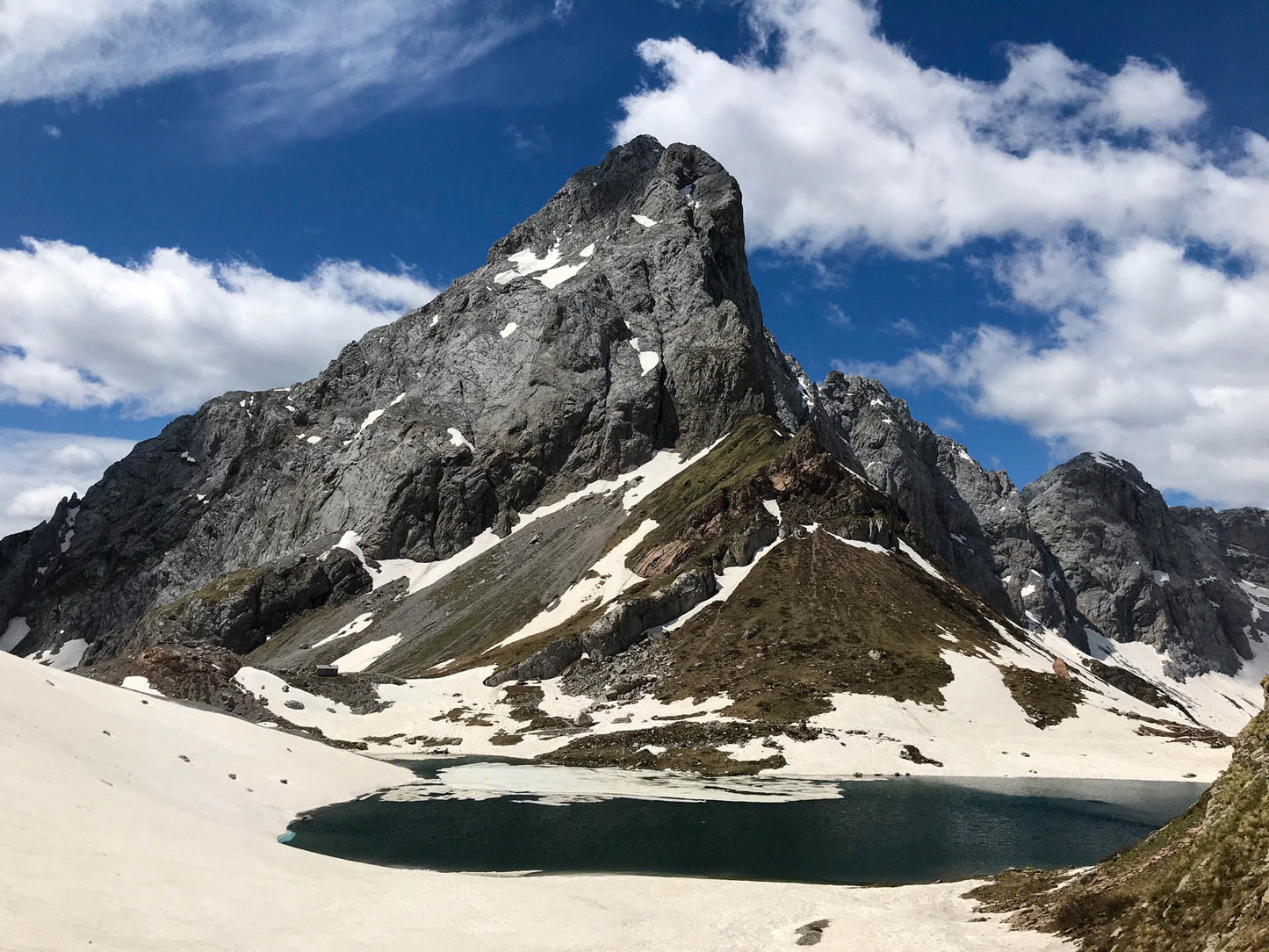
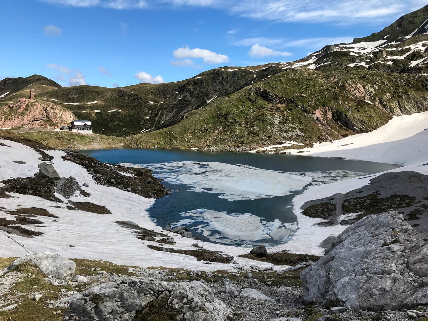
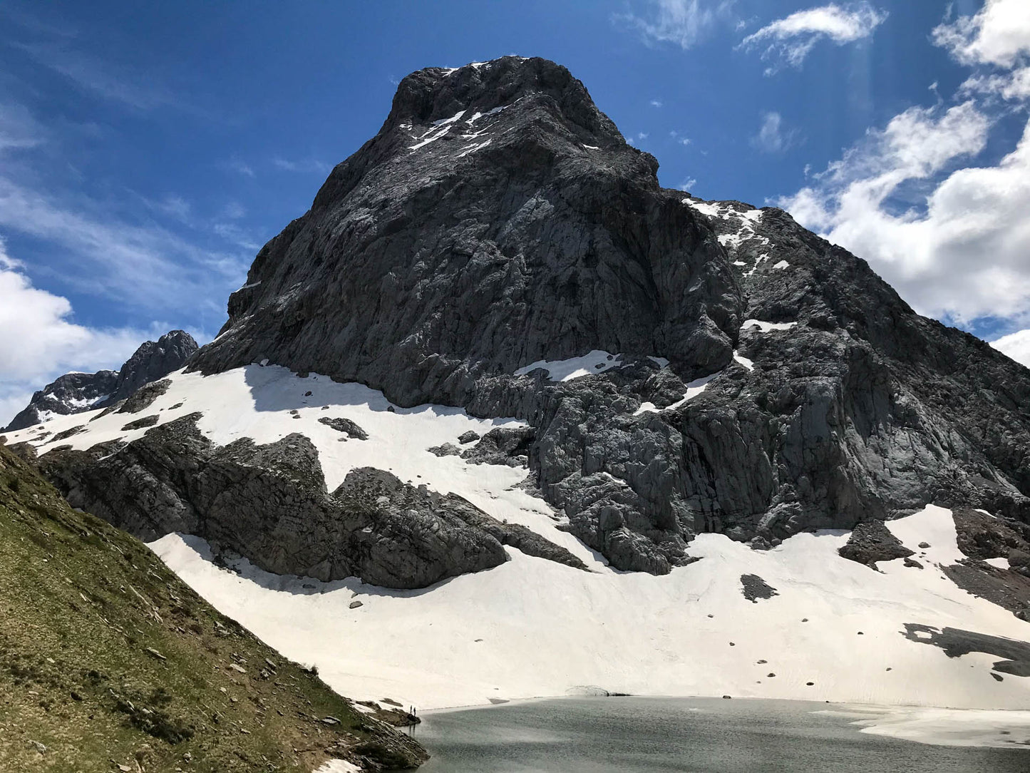
It is a glacial lake on the border between Italy and Austria, in front of the highest peak in Friuli (Monte Coglians 2,780m). The environment still shows signs of the Great War and also represents a geological site of international value, with layers of rock that are evidence of open sea environments and reef environments. Here, between 460 and 320 million years ago, the sea extended.
🎯 Practical advice
🎯 Practical advice
It can be a windy area as it goes up a wide gully, bring a shell with you, otherwise you can count on the two shelters around the lake for a warm place.
Information
Path
Code: CAI 143-144-145
Distance: 5.7 km
Duration: 3 hours and 14 minutes
Elevation difference: 580.0 meters d+
Parking
Location: Tolazzi Refuge
Altitude: 1384 m
Phone: 393505011795
Email:
Site:
Arrive
Location: Lake Volaia
Altitude: 1960 m
Phone:
Email:
Site:
Period
Season: Summer
Resources and useful links to help you plan your excursion:
Summit Diary
Join those who love the mountains. Share your experience and help others live a unique adventure, respecting and preserving nature. Your opinion makes the difference.
Discover other itineraries
-
Snowshoeing to the Dibona Refuge
📍 Cortina d'Ampezzo, BLSimple, T -
Excursion to Cima Socede
📍 Scurelle, TNIntermedia, AND AND -
Snowshoeing at Baita Angelini
📍 Pralongo, BLIntermedia, AND AND -
Circular walk of the Three Peaks of Lavaredo
📍 Auronzo of Cadore, BLSimple, E


