
Excursion to Monte Festa 🚶🏼♀️
Excursion to Monte Festa


 Curated by Manuela . Mountain Guides.

🗺️ Where is it located?
🗺️ Where is it located?
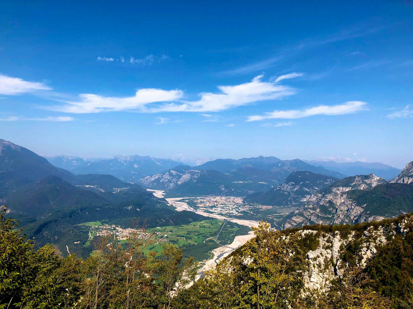
Region: Friuli-Venezia-Giulia
Province: UD
Municipality: They are bordano
⛰️ Who is it suitable for?
⛰️ Who is it suitable for?
Difficulty Intermedia , code AND AND .
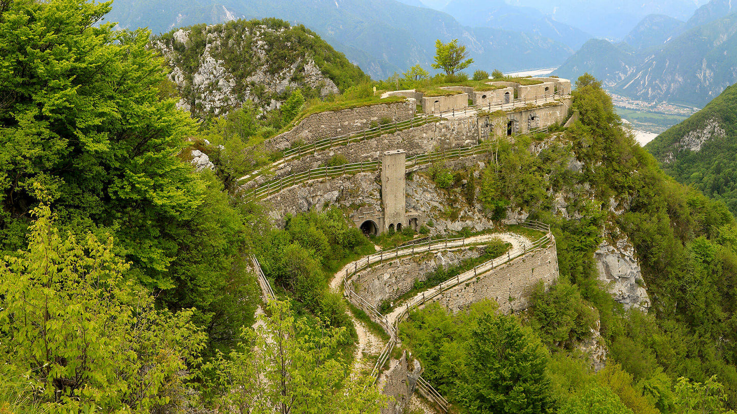
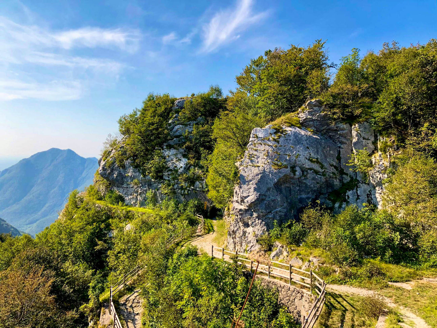
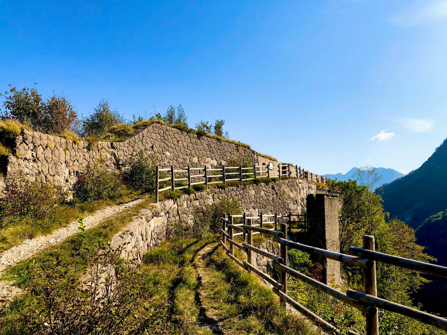
🤩 What are we doing?
🤩 What are we doing?
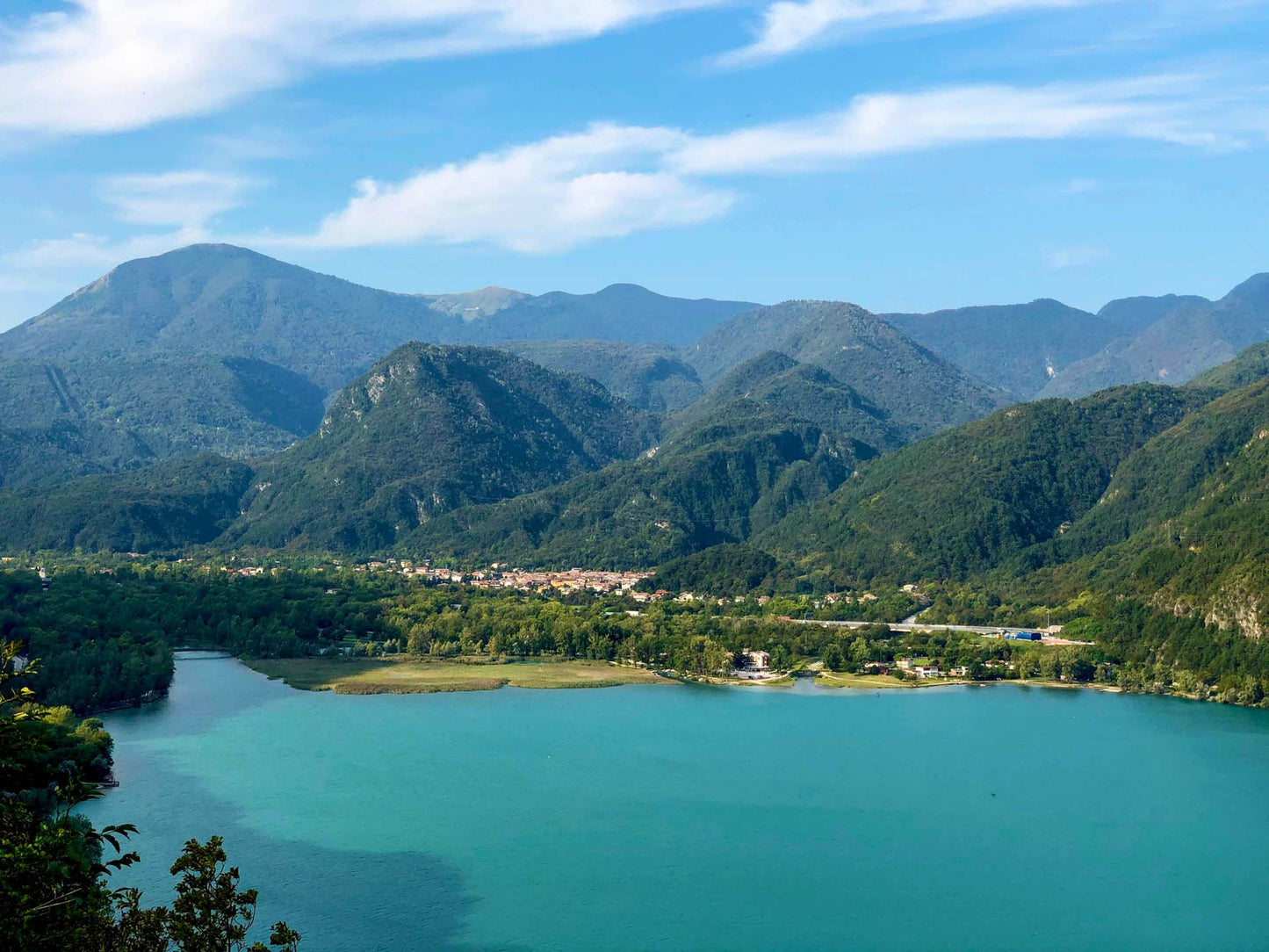
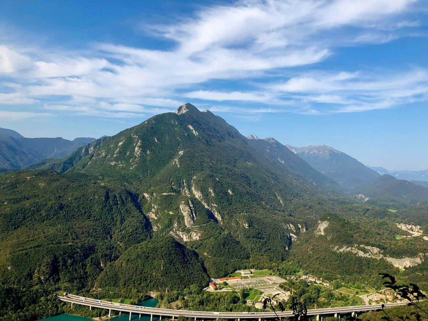
🏔 Curiosities of the place
🏔 Curiosities of the place
🎯 Practical advice
🎯 Practical advice
Summit Diary
Discover other itineraries
-
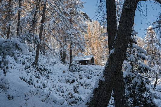
Snowshoeing to the Dibona Refuge
📍 Cortina d'Ampezzo, BLSimple, T -
Excursion to Cima Socede
📍 Scurelle, TNIntermedia, AND AND -
Snowshoeing at Baita Angelini
📍 Pralongo, BLIntermedia, AND AND -
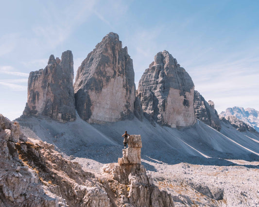
Circular walk of the Three Peaks of Lavaredo
📍 Auronzo of Cadore, BLSimple, E