Excursion to the Pian di Cengia Refuge 🚶🏼♀️
Excursion to the Pian di Cengia Refuge
1
/
of
7
Compartir
 Curated by Mauro . Mountain Guides.
🗺️ Where is it located?
🗺️ Where is it located?
Region: Veneto
Province: BL
Municipality: Auronzo of Cadore
⛰️ Who is it suitable for?
⛰️ Who is it suitable for?
Difficulty Intermedia , code AND AND .
🤩 What are we doing?
🤩 What are we doing?
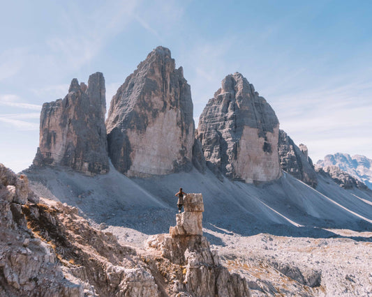
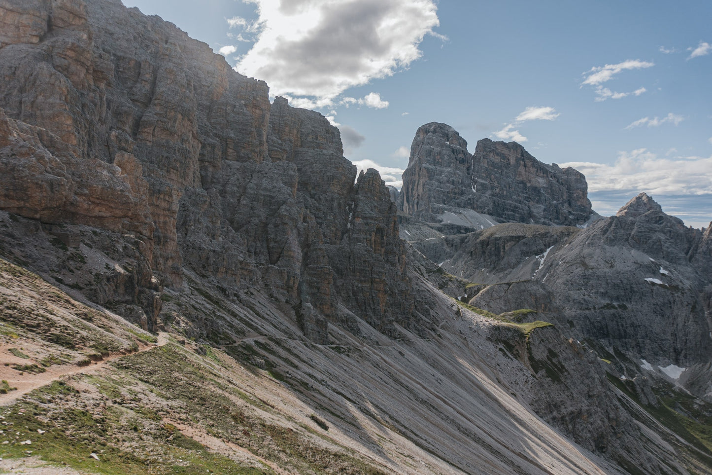
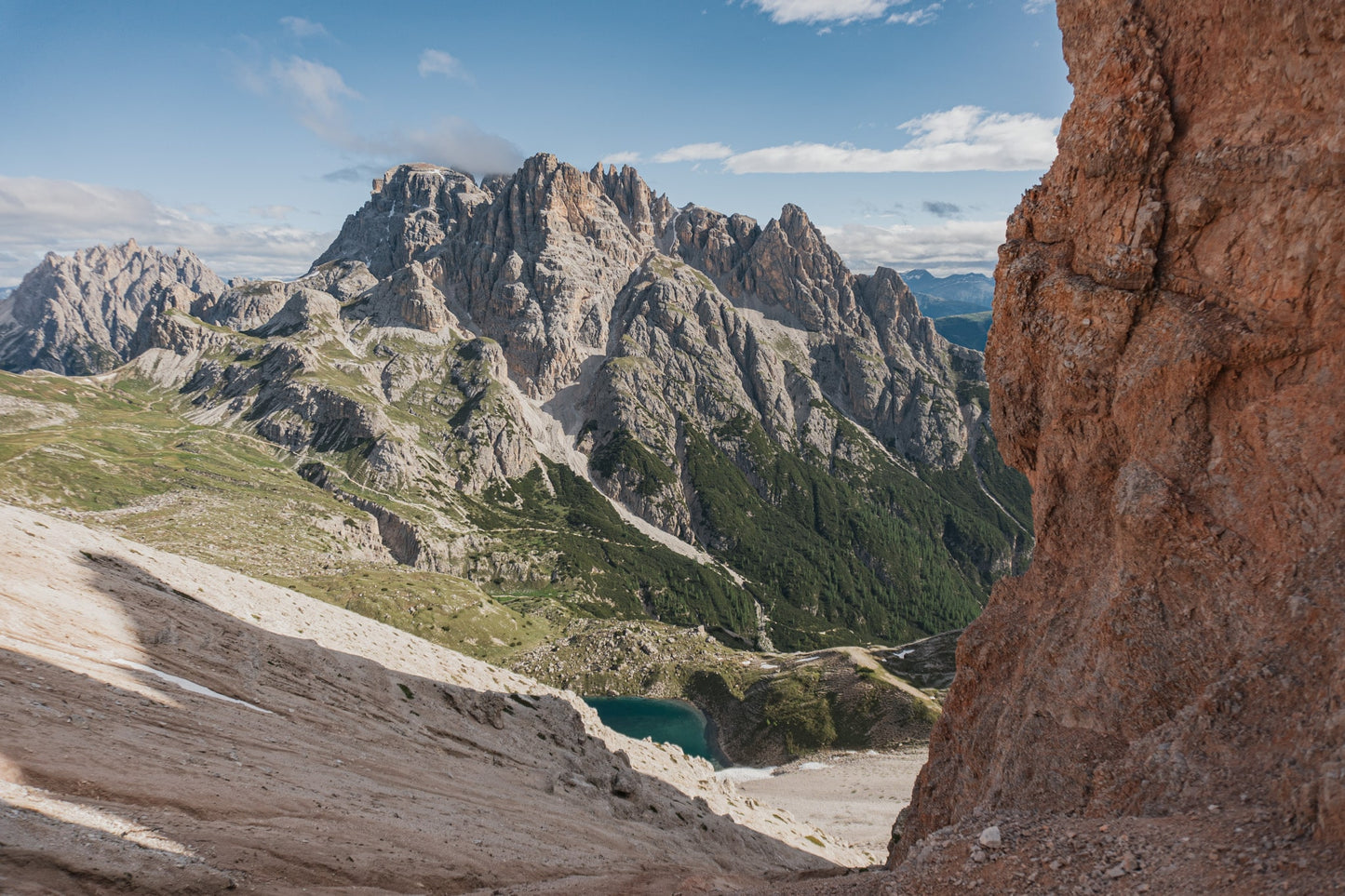
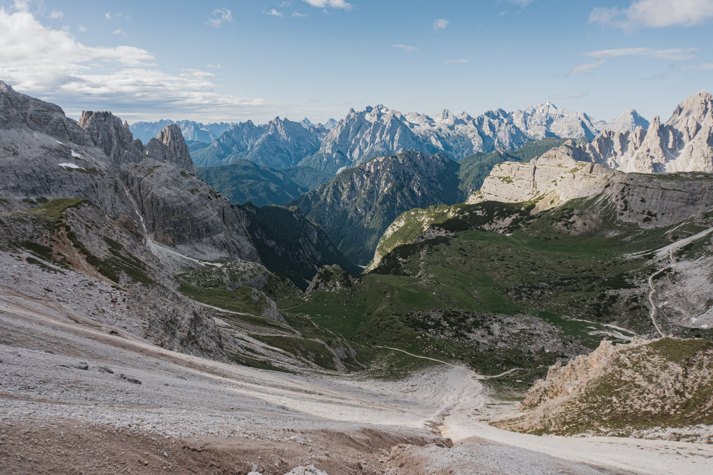
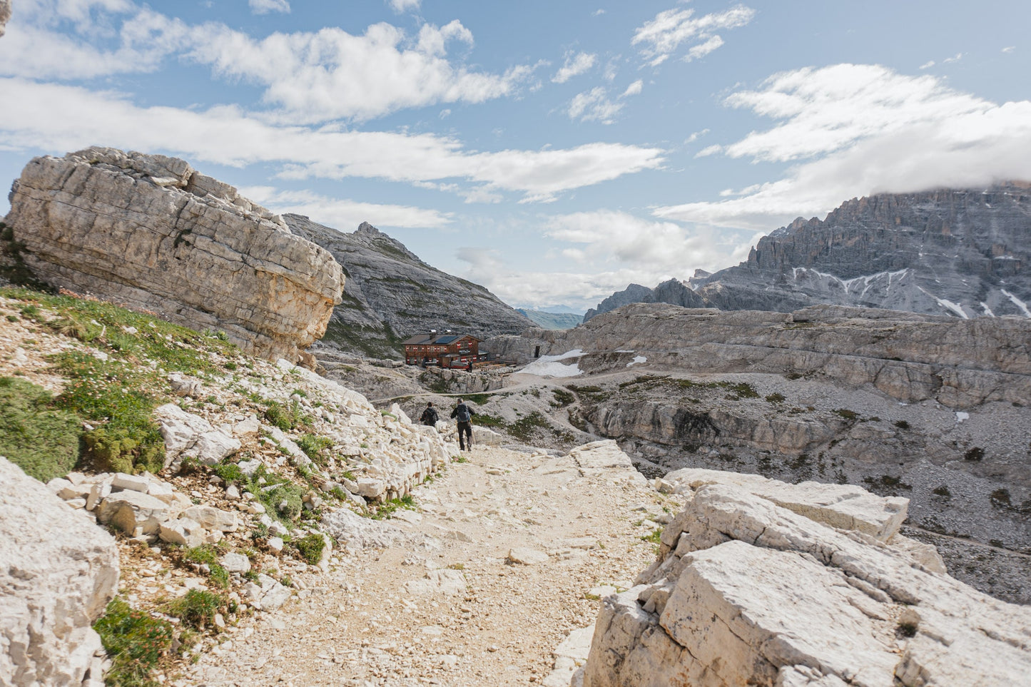
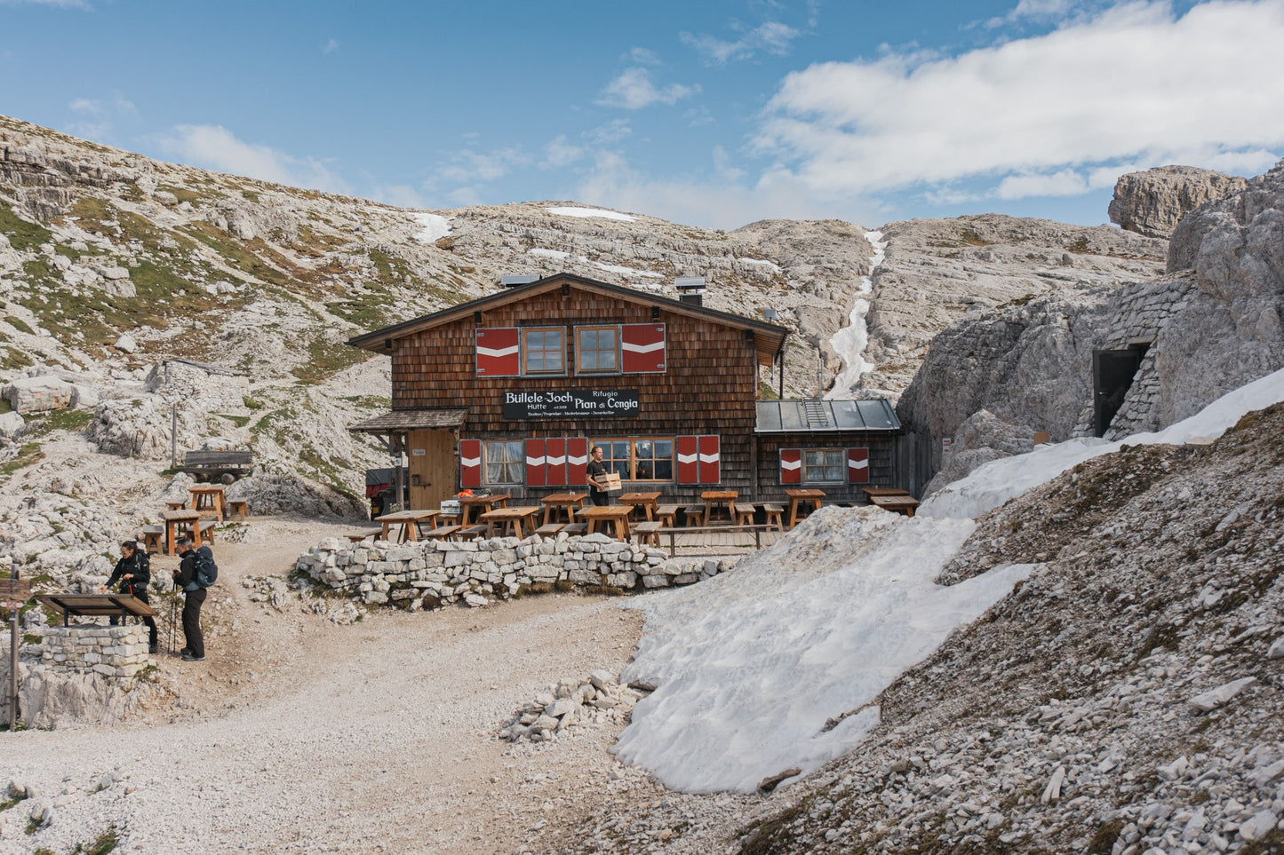
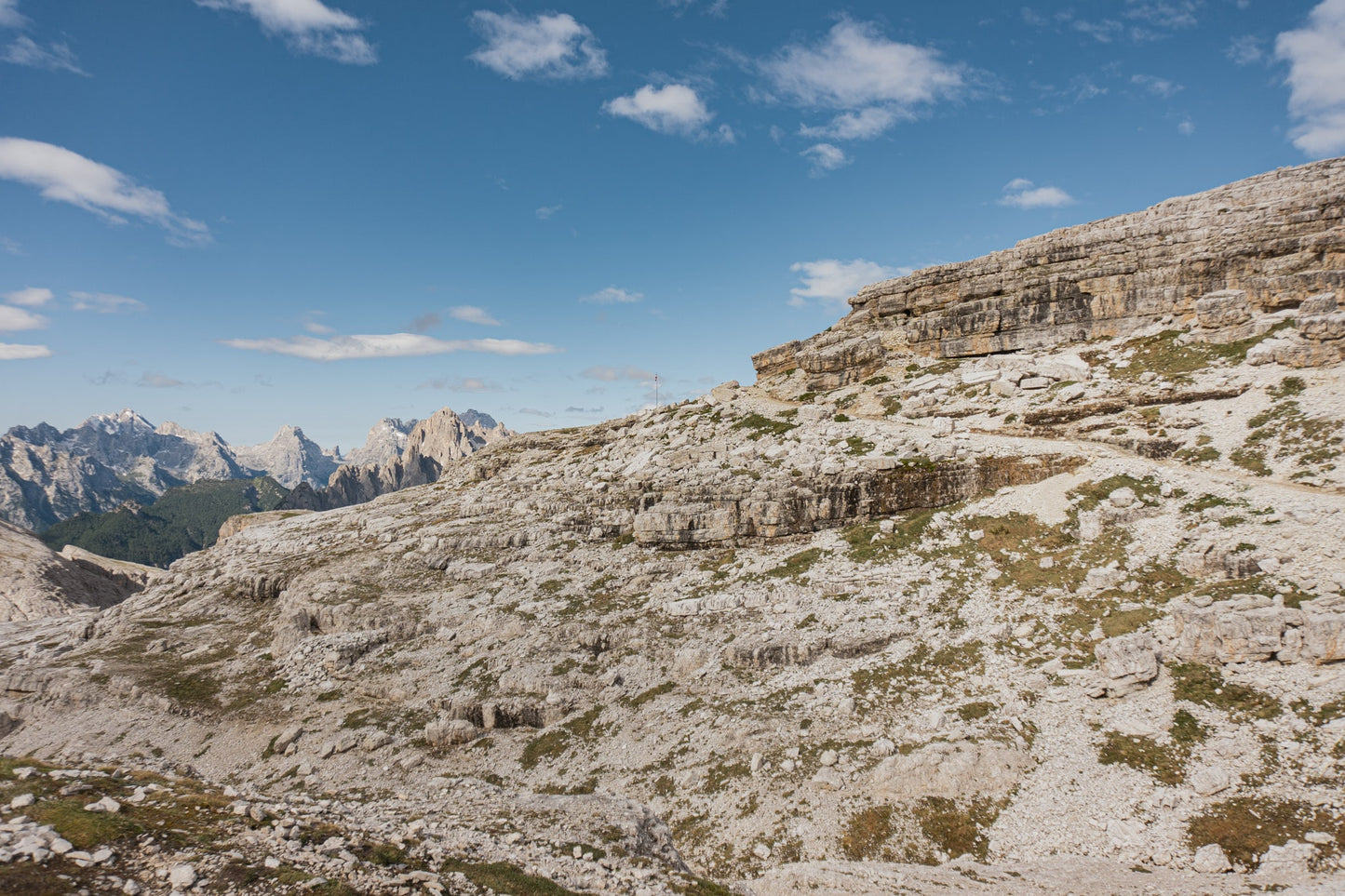
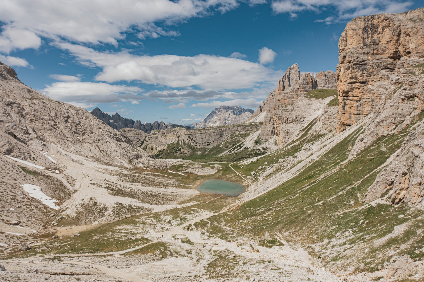
A circular route that passes the Lavaredo refuge and the north face of Monte Paterno (CAI no. 101), offering a splendid view of the north faces of the Tre Cime di Lavaredo. The route continues towards the Piani lakes near the Locatelli refuge and reaches the Pian di Cengia refuge with a steep climb. From the Pian di Cengia refuge, you cross an almost lunar and fairy-tale landscape that, first downhill and then uphill (CAI no. 104), reaches the Lavaredo refuge passing through the Cengia Lake.
🏔 Curiosities of the place
🏔 Curiosities of the place
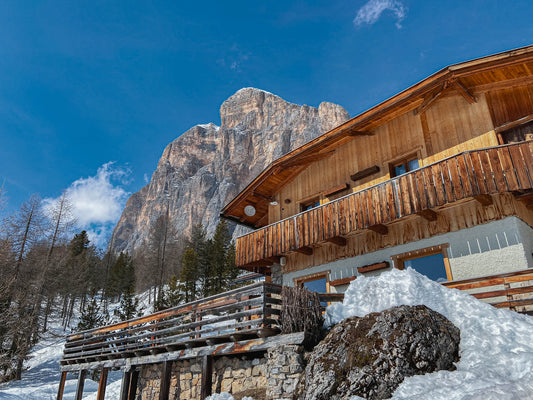
We are in the Sesto Dolomites. The Pian di Cengia Refuge is the highest and smallest refuge in the Tre Cime Natural Park. In the middle of the Sesto Mountains Sundial: between Cima Dodici and Cima Uno, in front of Cima Dieci and Cima Undici.
🎯 Practical advice
🎯 Practical advice
The refuge is always very popular and is a must-see for the excellent food it offers. Book your place in advance!
Information
Path
Code: CAI 101-104
Distance: 13.1 km
Duration: 5 hours and 31 minutes
Elevation difference: 560.0 meters d+
Parking
Location: Auronzo Refuge
Altitude: 2320 m
Phone: +39 0435 39002
Email: info@rifugioauronzo.it
Site: http://www.rifugioauronzo.com
Arrive
Location: Pian di Cengia Refuge
Altitude: 2528 m
Phone: +39 337451517
Email: info@buellelejoch.it
Site: https://www.rifugiopiandicengia.it/it/
Period
Season: Summer
Resources and useful links to help you plan your excursion:
Summit Diary
Join those who love the mountains. Share your experience and help others live a unique adventure, respecting and preserving nature. Your opinion makes the difference.
Discover other itineraries
-
Snowshoeing to the Dibona Refuge
📍 Cortina d'Ampezzo, BLSimple, T -
Excursion to Cima Socede
📍 Scurelle, TNIntermedia, AND AND -
Snowshoeing at Baita Angelini
📍 Pralongo, BLIntermedia, AND AND -
Circular walk of the Three Peaks of Lavaredo
📍 Auronzo of Cadore, BLSimple, E


