Excursion to the Scarpa Refuge 🚶🏼♀️
Excursion to the Scarpa Refuge
1
/
of
6
Compartir
 Curated by Elisa . Mountain Guides.
🗺️ Where is it located?
🗺️ Where is it located?
Region: Veneto
Province: BL
Municipality: Frassene
⛰️ Who is it suitable for?
⛰️ Who is it suitable for?
Difficulty Intermedia , code AND AND .
🤩 What are we doing?
🤩 What are we doing?
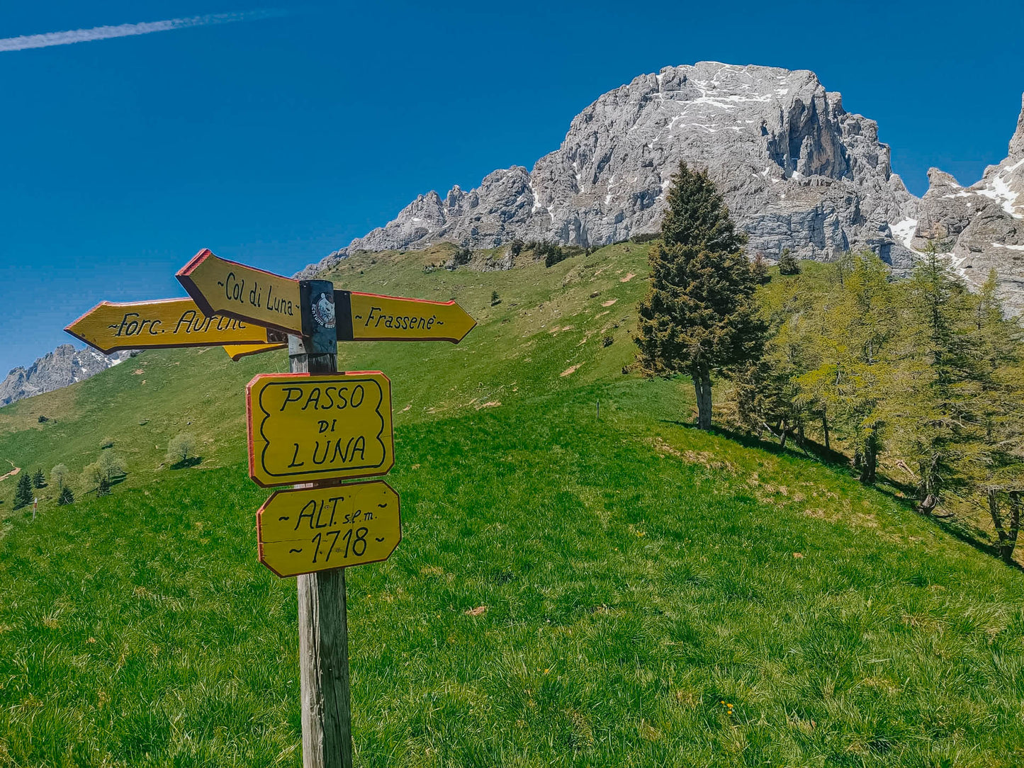
Long but never demanding excursion passing through Col di Luna, otherwise easy and suitable for everyone if you want to reach the Scarpa Refuge directly.
🏔 Curiosities of the place
🏔 Curiosities of the place
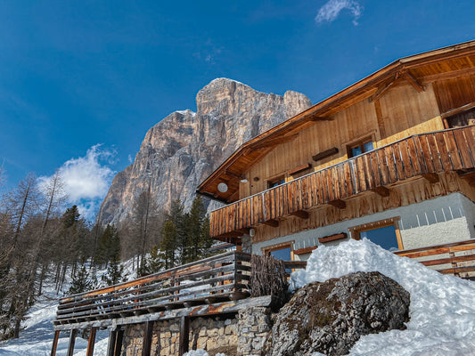
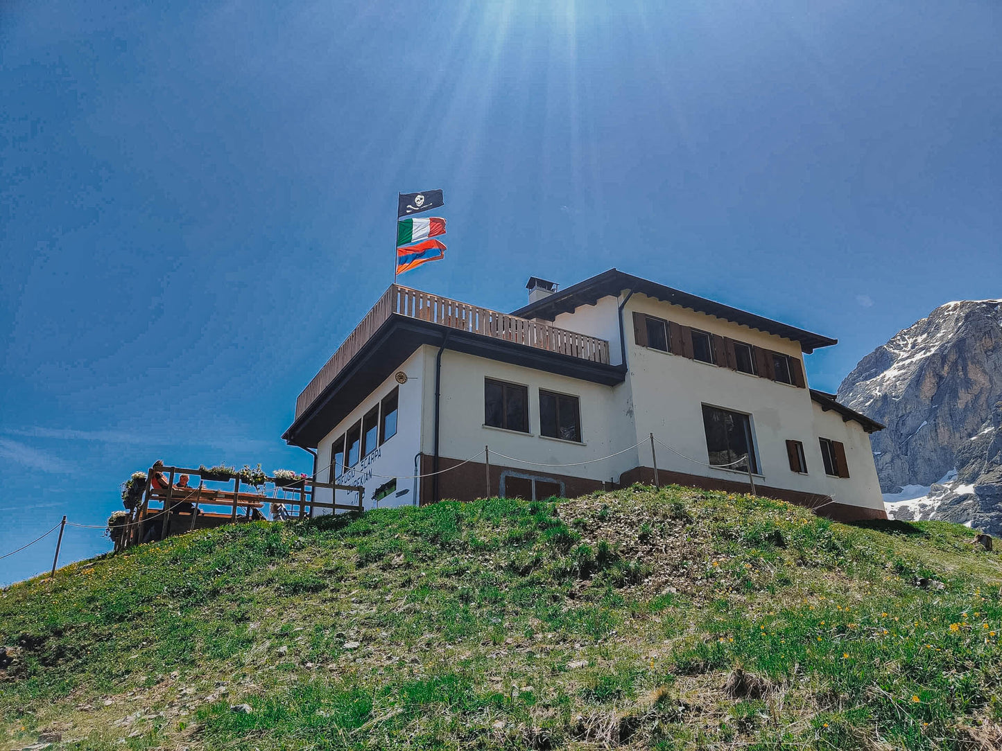
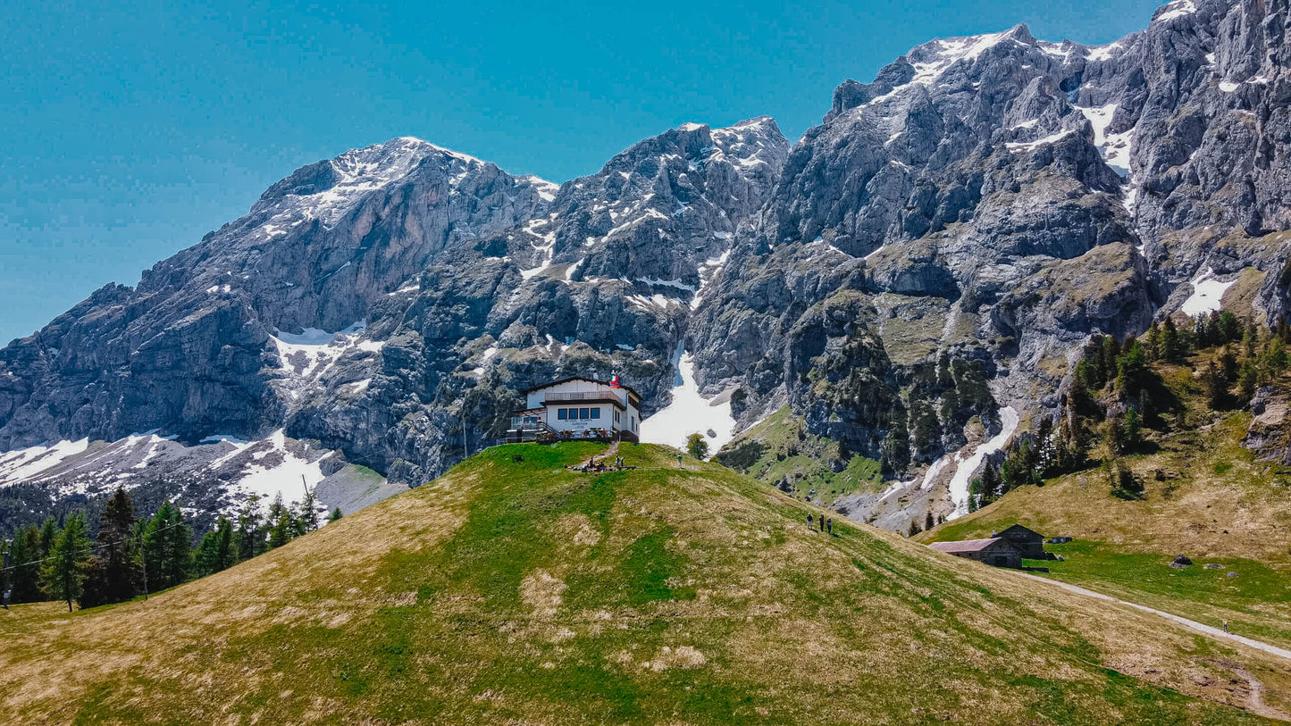
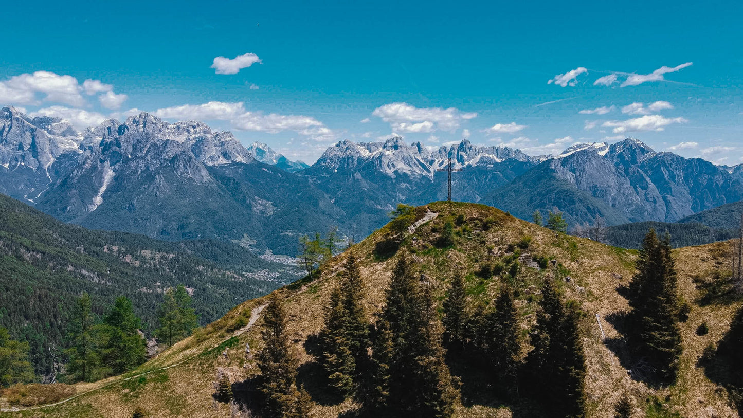
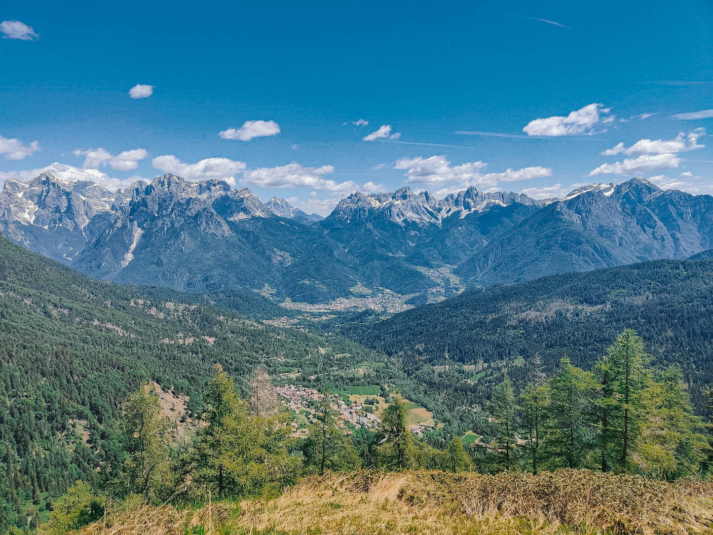
At the foot of the mighty Pale di San Martino chain we find an itinerary amidst green meadows in one of the most suggestive refuges of the Agordino.
🎯 Practical advice
🎯 Practical advice
The Refuge is famous for its Agner platter and half-board beers, arrive hungry (and having booked).
Information
Path
Code: CAI 771-772
Distance: 11.0 km
Duration: 4 hours and 35 minutes
Elevation difference: 780.0 meters d+
Parking
Location: Location Frassené
Altitude: 1068 m
Phone:
Email:
Site:
Arrive
Location: Rifugio Scarpa in Gurekia
Altitude: 1735 m
Phone: +39 3313152963
Email: info@rifugioscarpa.com
Site: https://www.rifugioscarpa.com/
Period
Season: Summer
Resources and useful links to help you plan your excursion:
Summit Diary
Join those who love the mountains. Share your experience and help others live a unique adventure, respecting and preserving nature. Your opinion makes the difference.
Discover other itineraries
-
Snowshoeing to the Dibona Refuge
📍 Cortina d'Ampezzo, BLSimple, T -
Excursion to Cima Socede
📍 Scurelle, TNIntermedia, AND AND -
Snowshoeing at Baita Angelini
📍 Pralongo, BLIntermedia, AND AND -
Circular walk of the Three Peaks of Lavaredo
📍 Auronzo of Cadore, BLSimple, E


