Excursion to Cima d'Asta 🚶🏼♀️
Excursion to Cima d'Asta
1
/
of
10
Compartir
- Curated by Claudio . Mountain Guides.
🗺️ Where is it located?
🗺️ Where is it located?
Region: Trentino-Alto Adige
Province: TN
Municipality: Pieve Tesino
⛰️ Who is it suitable for?
⛰️ Who is it suitable for?
Difficulty Difficult , code AND AND .
🤩 What are we doing?
🤩 What are we doing?
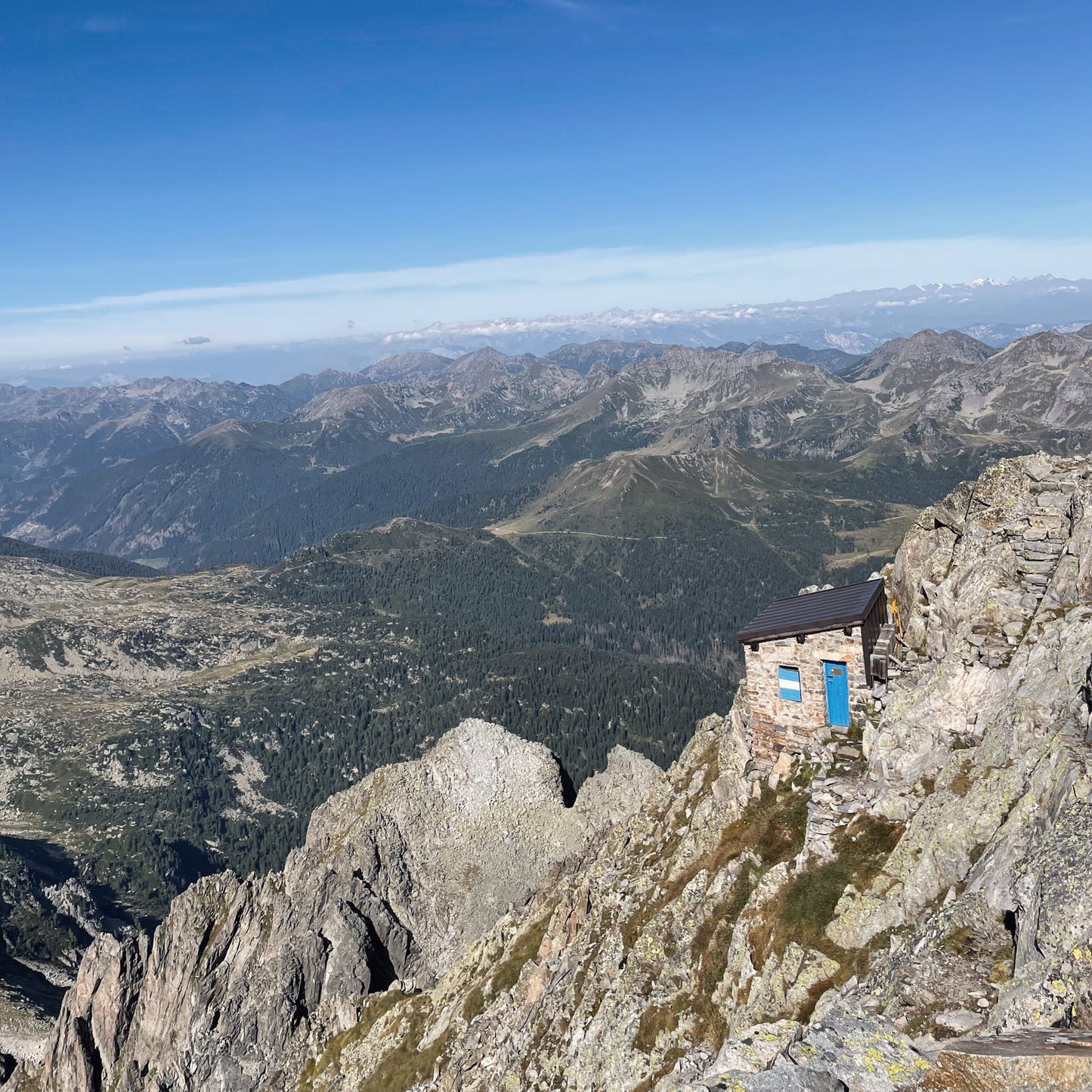
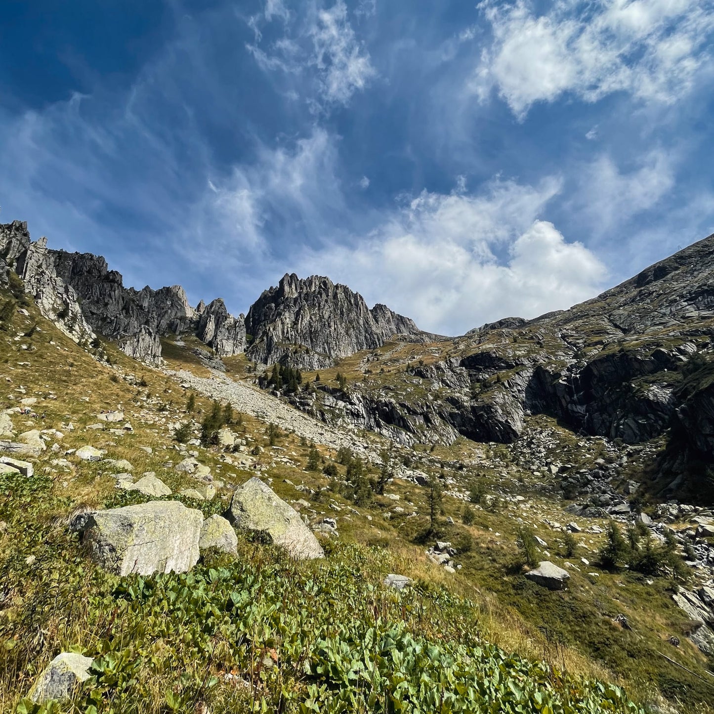
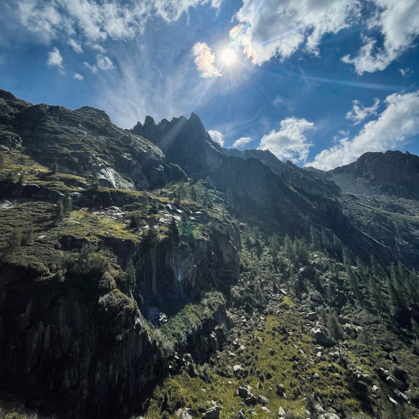
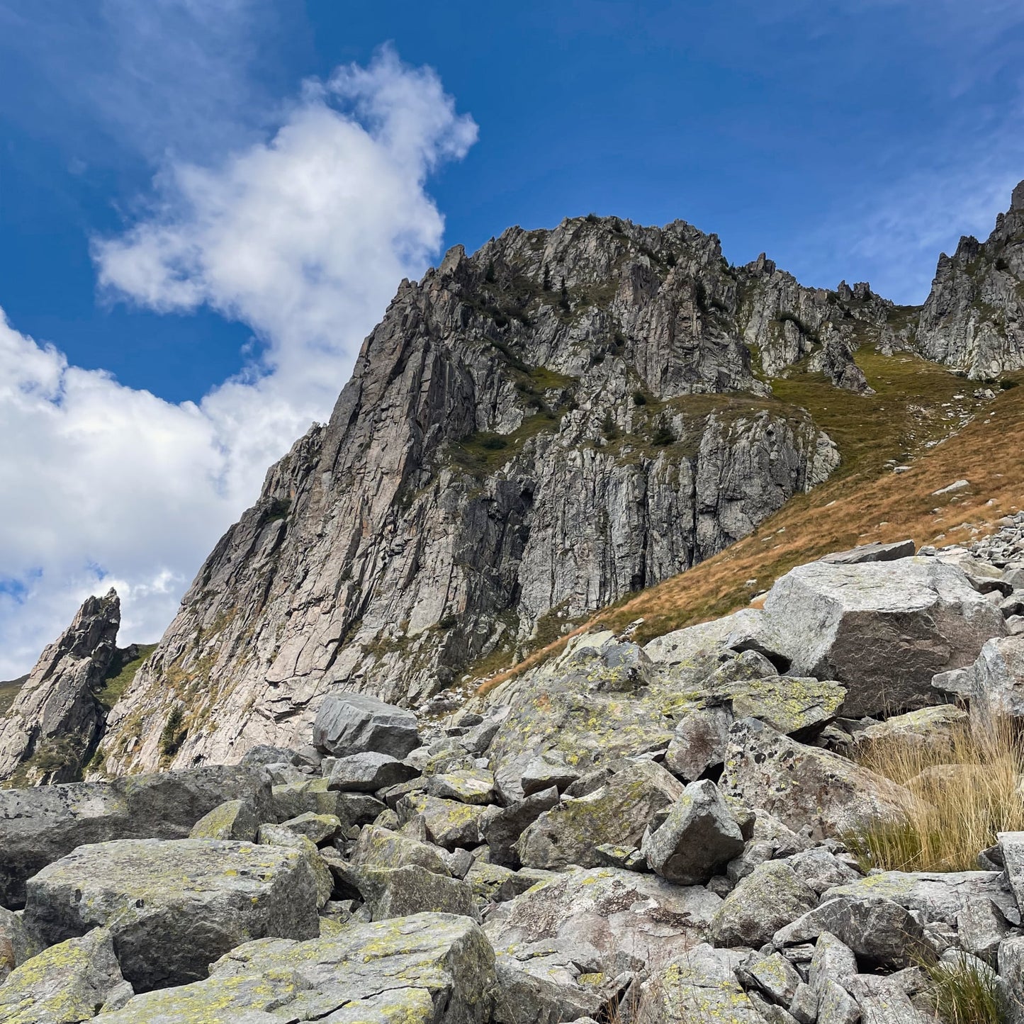
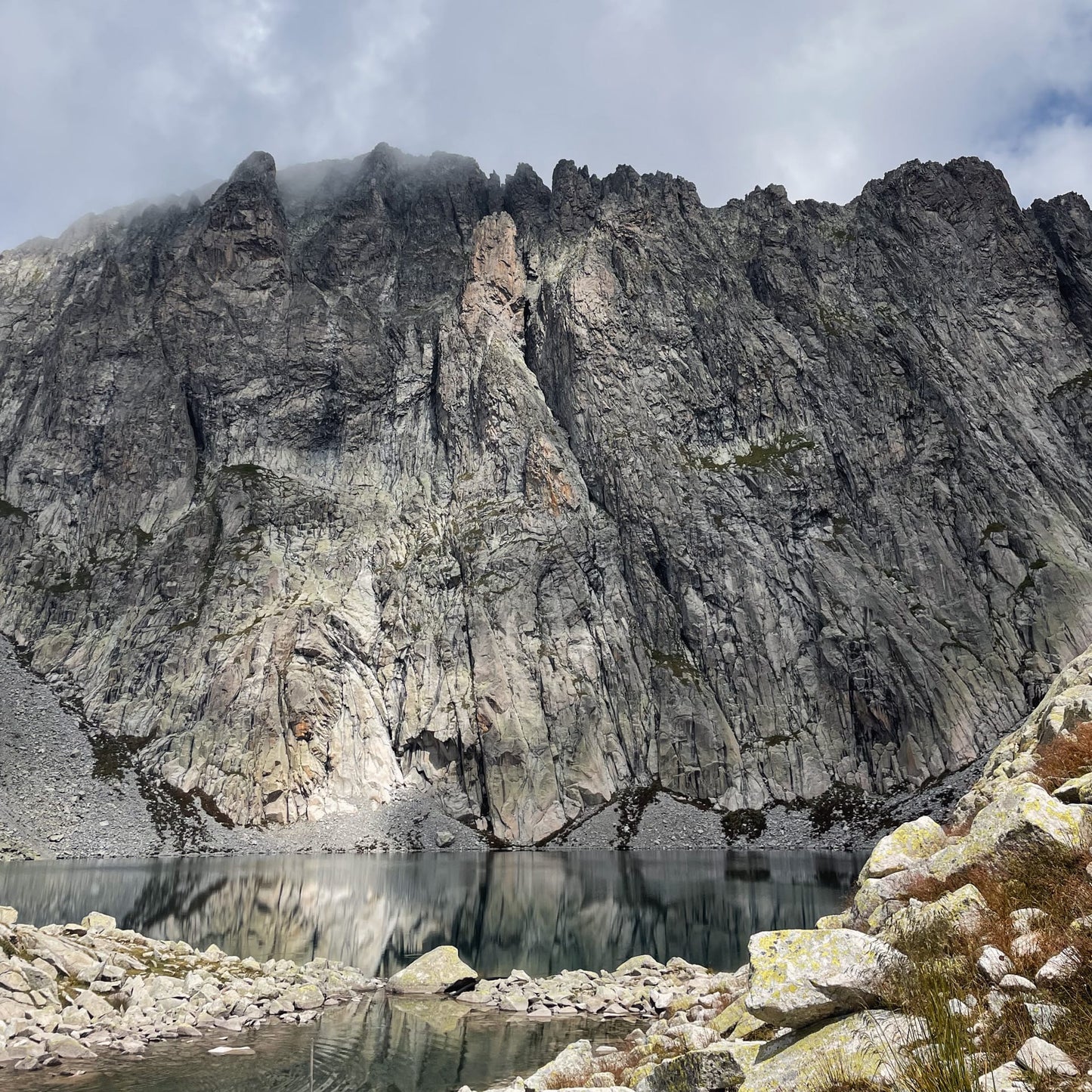
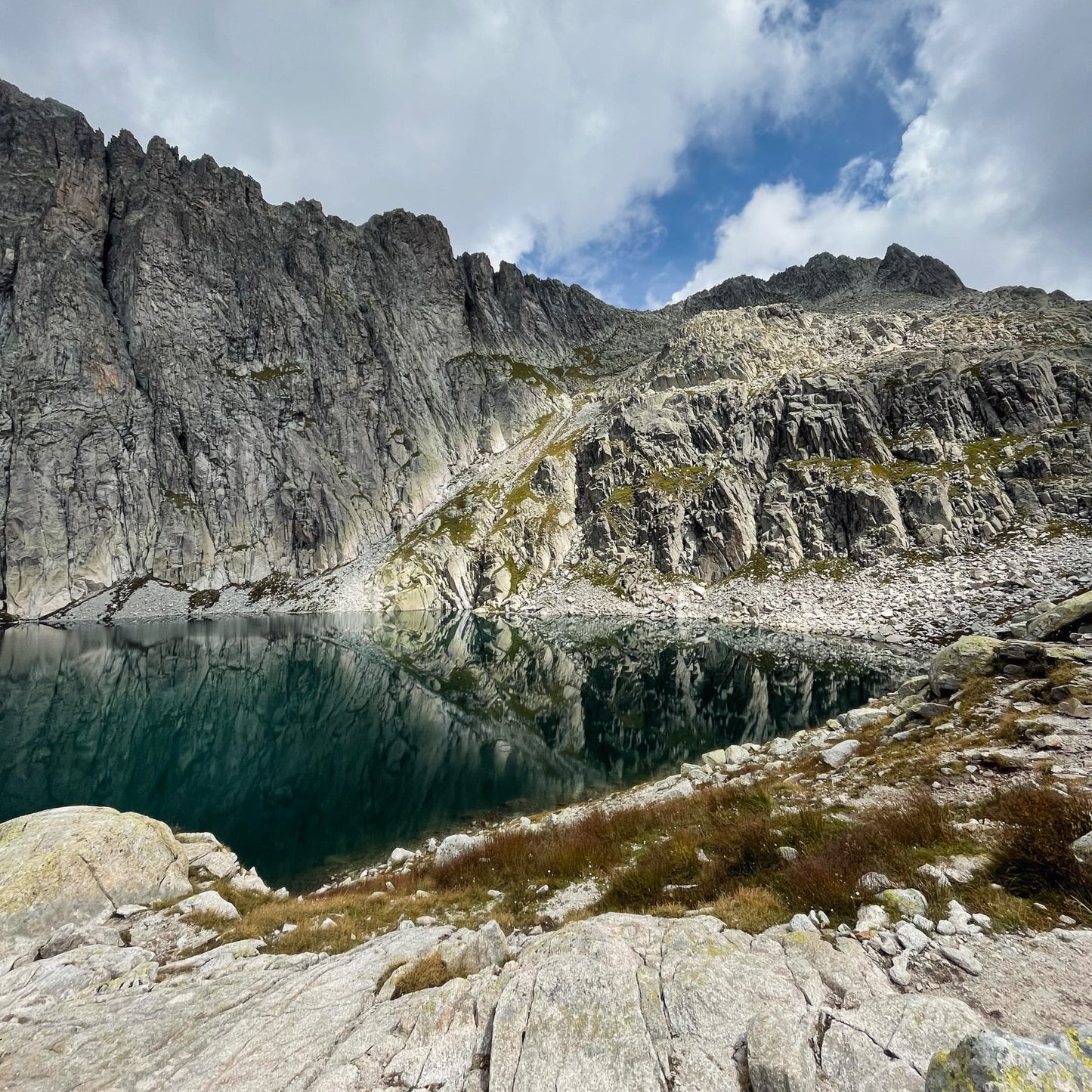
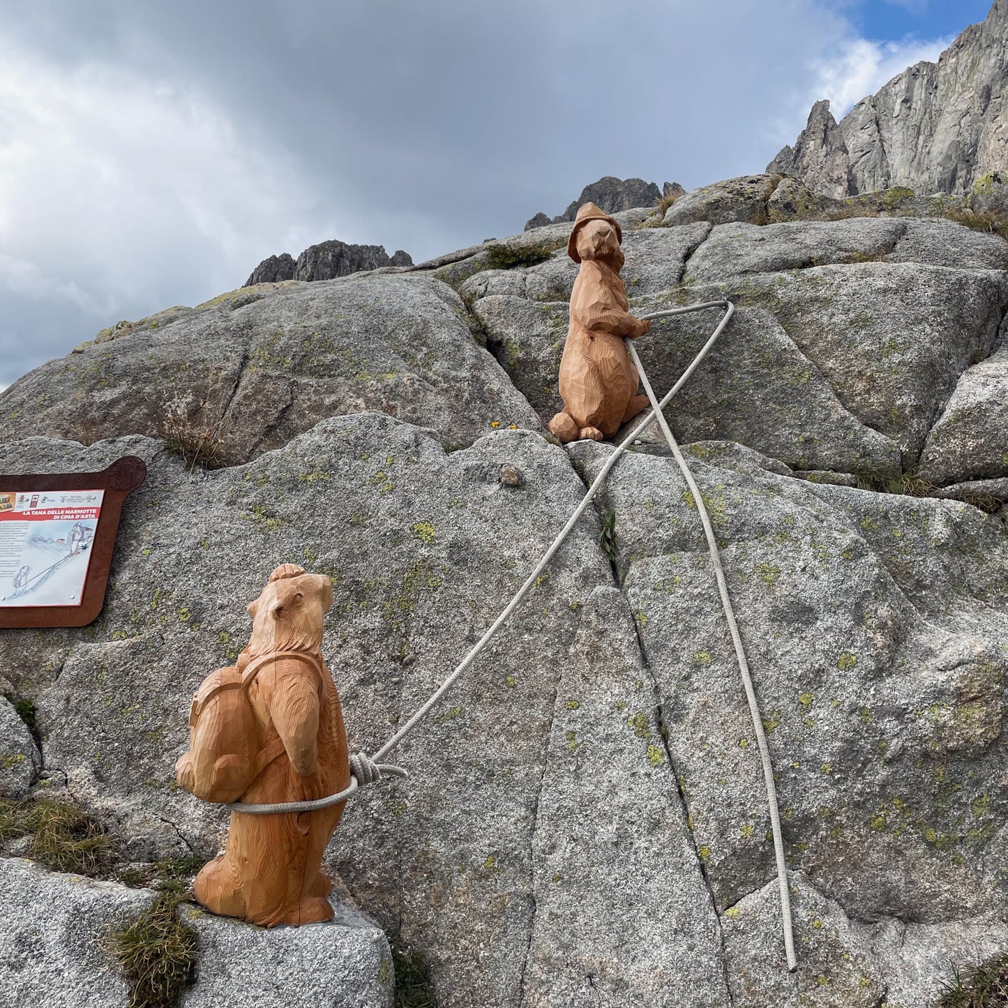
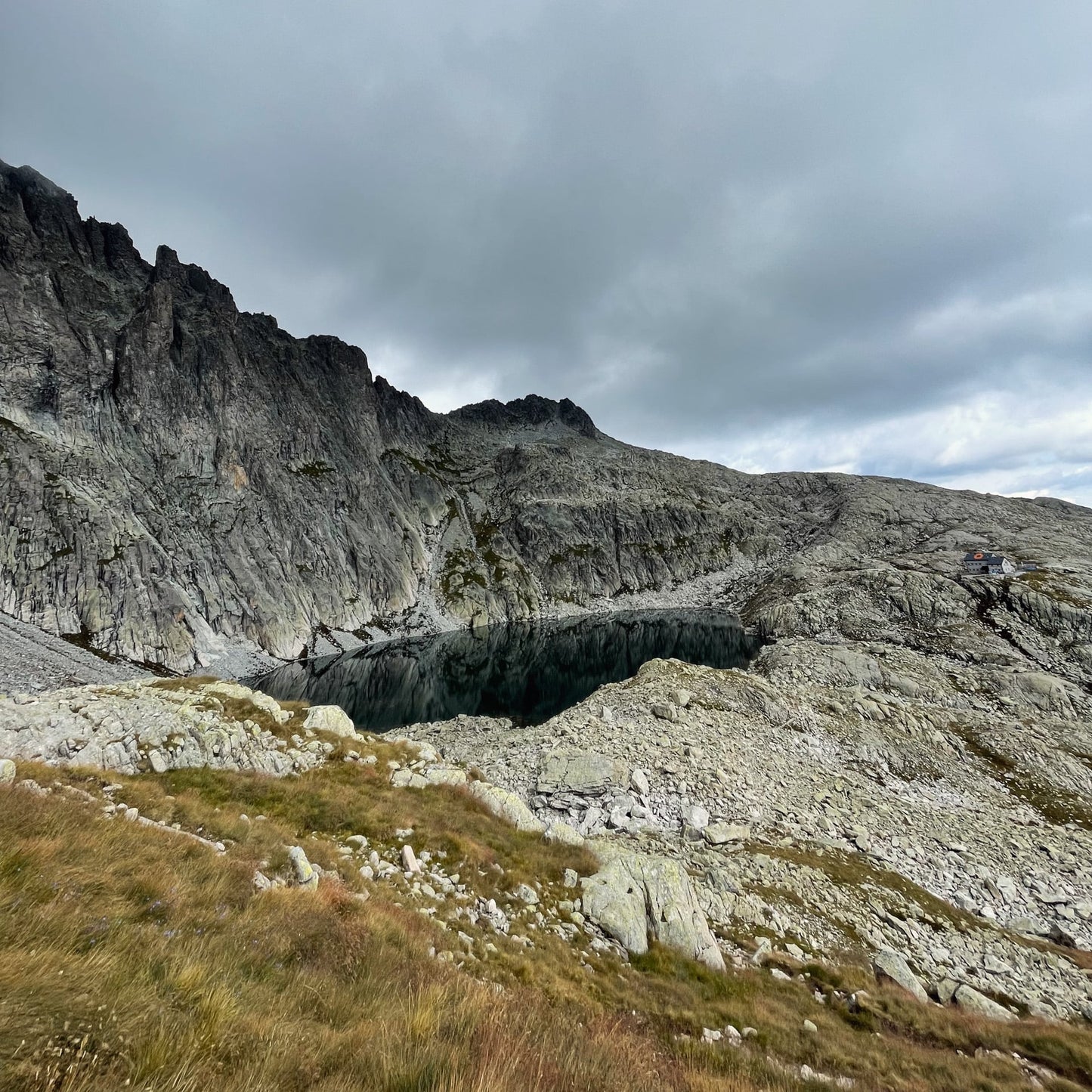
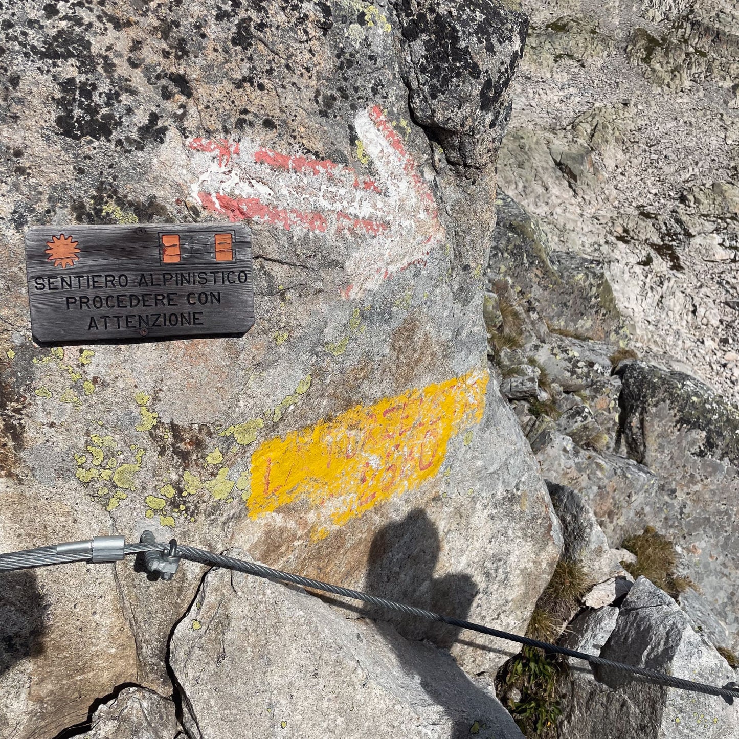
Tough and long hike, with about 1,500 meters of total elevation gain from Malga Sorgazza to Cima d'Asta. The first part is a long valley following the CAI 327 trail, which leads to the Rifugio Ottone Brentari. A long granite slab is found at the end, but easily overcome with a constant pace. From the Refuge towards the Cima, you go over the "Forzeleta", where there are some steel cables to descend, and then follow along the wide valley of granite rock. Large boulders take us to the summit of Cima d'Asta, where there is a summit cross and, just a little lower down, a small Bivouac.
🏔 Curiosities of the place
🏔 Curiosities of the place
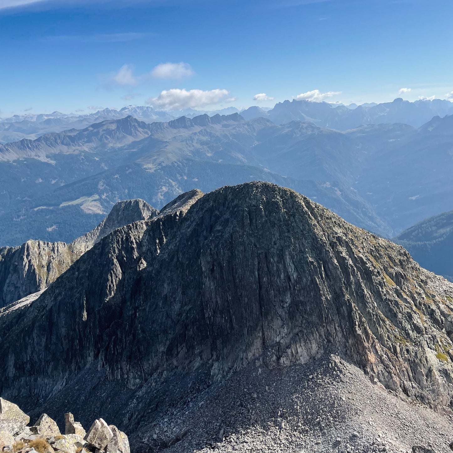
Cima d'Asta is the most famous peak in the geographical area of Lagorai, between the Venetian Prealps and the Dolomites. It is an area rich in paths and unique, still not very touristy. From the summit cross, you can admire a breathtaking 360-degree panorama. To the north, you can admire the Lagorai chain, to the west the Brenta pinnacles and to the east the Pale di San Martino. Also known for the presence of the Cima d'Asta lake, which is located along the path to the summit.
🎯 Practical advice
🎯 Practical advice
It is recommended, especially for the less trained, to divide the excursion into two days. The first day from Malga Sorgazza to reach the Brentari Refuge (where there are bookable beds). Second day dedicated to the climb to Cima d'Asta and return to the Malga Sorgazza parking lot. Bring plenty of water.
Information
Path
Code: CAI 327- CAI 364
Distance: 18.0 km
Duration: 8 hours
Elevation difference: 1500.0 meters d+
Parking
Location: Sorgazza Mountain Hut
Altitude: 1450 m
Phone: +39 389 683 6148
Email:
Site: https://malga-sorgazza.business.site/
Arrive
Location: Cima d'Asta
Altitude: 2847 m
Phone:
Email:
Site:
Period
Season: Summer
Resources and useful links to help you plan your excursion:
Summit Diary
Join those who love the mountains. Share your experience and help others live a unique adventure, respecting and preserving nature. Your opinion makes the difference.
Discover other itineraries
-
Snowshoeing to the Dibona Refuge
📍 Cortina d'Ampezzo, BLSimple, T -
Excursion to Cima Socede
📍 Scurelle, TNIntermedia, AND AND -
Snowshoeing at Baita Angelini
📍 Pralongo, BLIntermedia, AND AND -
Circular walk of the Three Peaks of Lavaredo
📍 Auronzo of Cadore, BLSimple, E


