Excursion to Cima Lastè 🚶🏼♀️
Excursion to Cima Lastè
1
/
of
6
Compartir
 Curated by Manuela . Mountain Guides.
🗺️ Where is it located?
🗺️ Where is it located?
Region: Veneto
Province: BL
Municipality: Drums
⛰️ Who is it suitable for?
⛰️ Who is it suitable for?
Difficulty Intermedia , code AND AND .
🤩 What are we doing?
🤩 What are we doing?
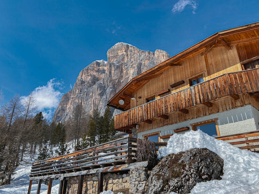
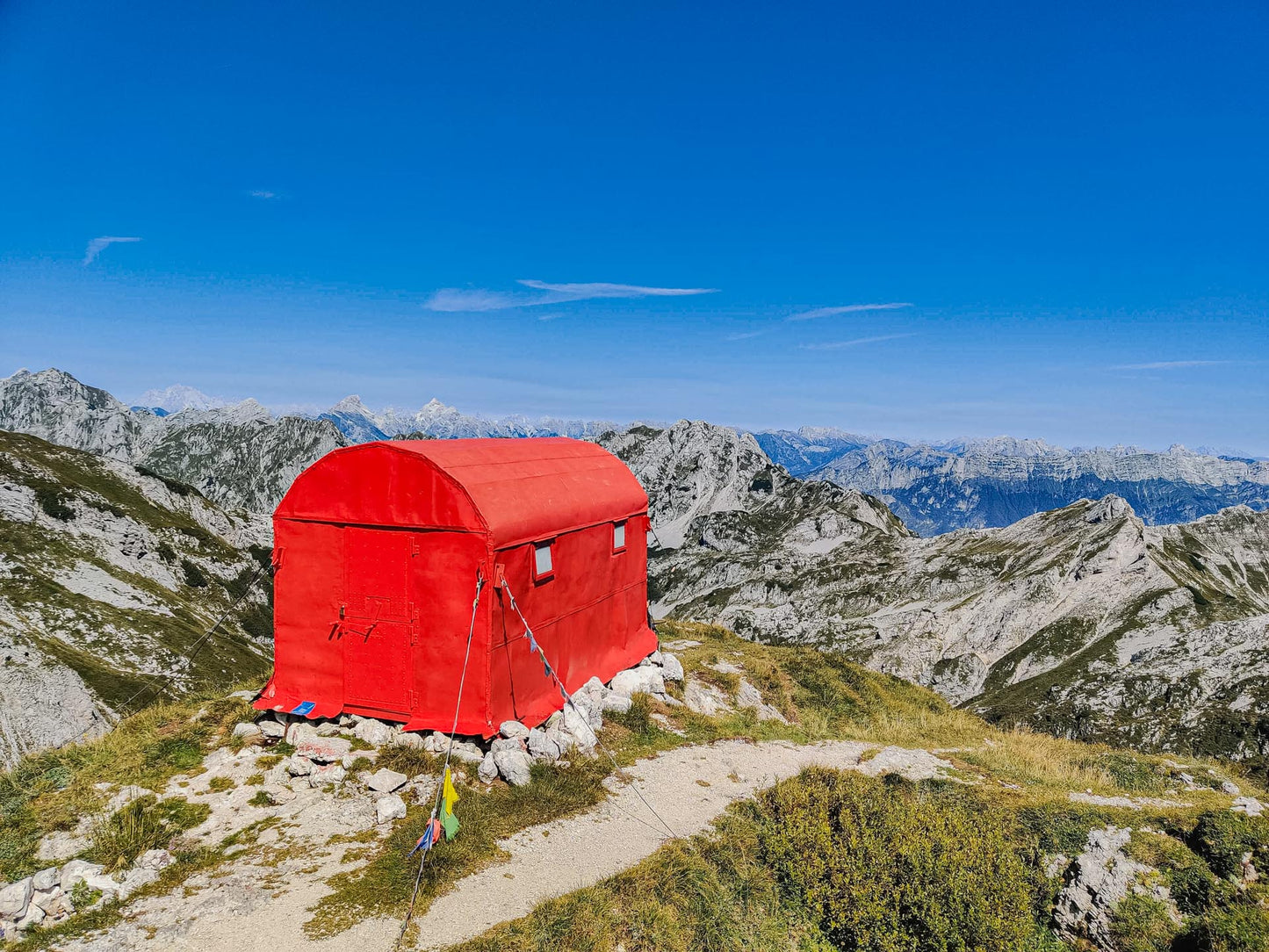
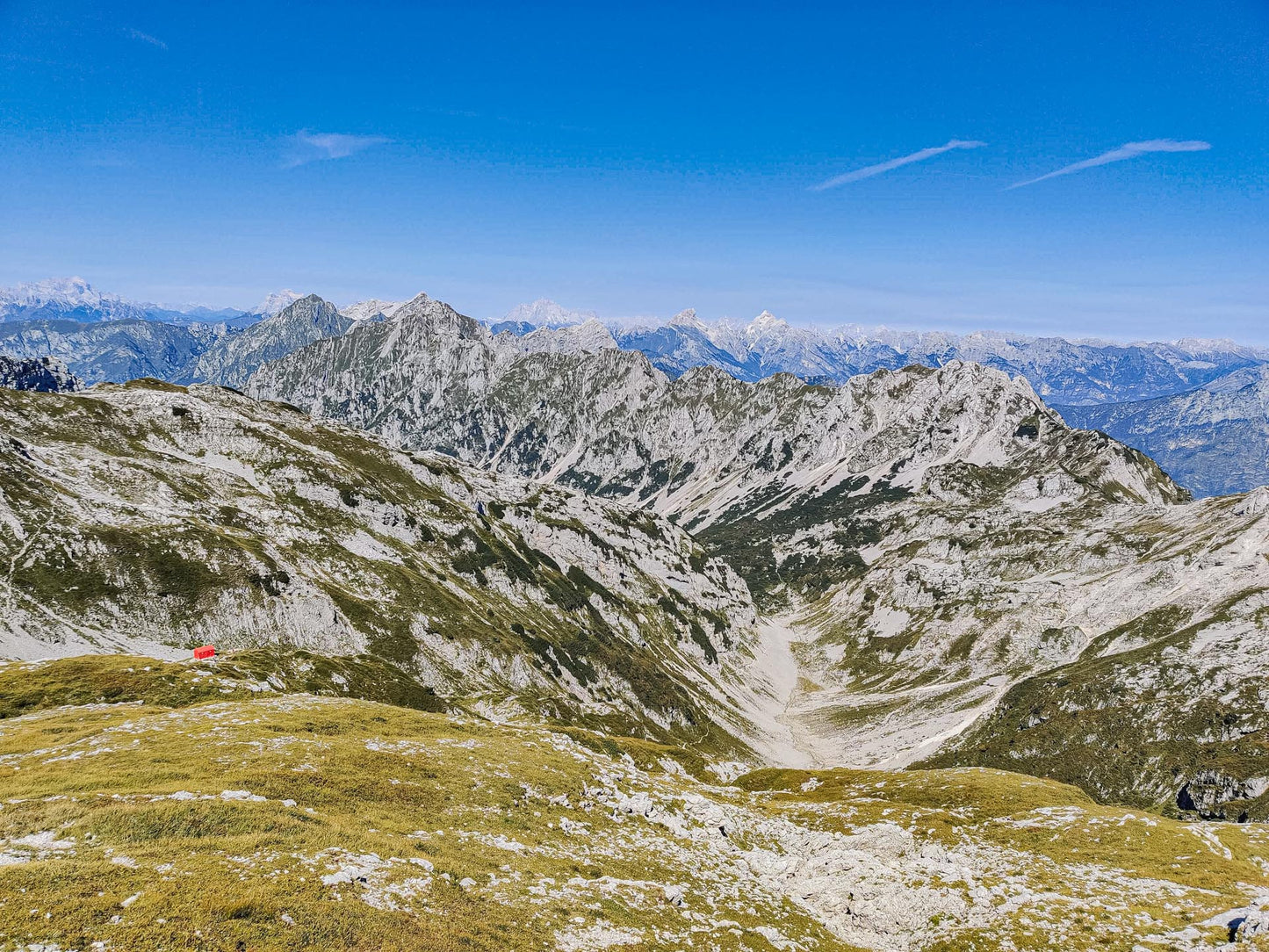
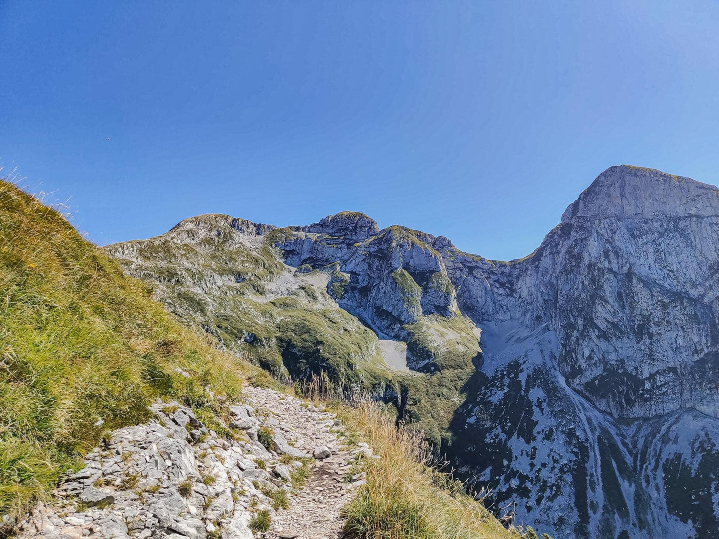
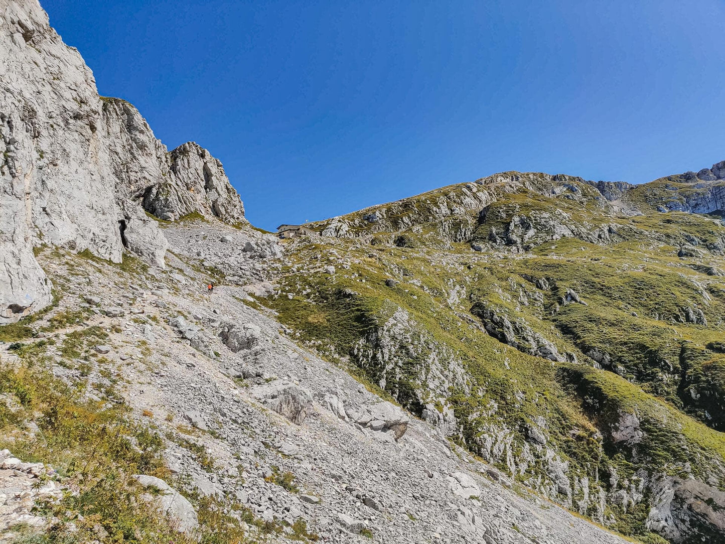
A long hike that goes up the Val de Piera and takes you first to the Semenza Refuge, to the nearby Lastè Bivouac and then with a steeper pace towards the summit.
🏔 Curiosities of the place
🏔 Curiosities of the place
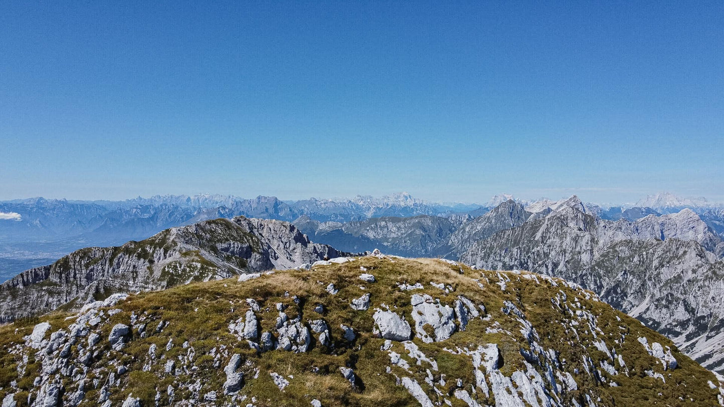
On the border between the Cavallo and Alpago groups, we find that from the Rifugio Semenza a long alternation of meadows and rocks starts. From this peak you can see the sea and the Dolomites.
🎯 Practical advice
🎯 Practical advice
Use appropriate footwear and bring water with you. In any case, once you have reached the summit, the Refuge will be ready with pastin and beer!
Information
Path
Code: CAI 926
Distance: 11.8 km
Duration: 6 hours and 07 minutes
Elevation difference: 1010.0 meters d+
Parking
Location: Monte Cavallo Farmhouse
Altitude: 1206 m
Phone: 390437439615
Email:
Site:
Arrive
Location: Cima Laster
Altitude: 2247 m
Phone:
Email:
Site:
Period
Season: Summer
Resources and useful links to help you plan your excursion:
Summit Diary
Join those who love the mountains. Share your experience and help others live a unique adventure, respecting and preserving nature. Your opinion makes the difference.
Discover other itineraries
-
Snowshoeing to the Dibona Refuge
📍 Cortina d'Ampezzo, BLSimple, T -
Excursion to Cima Socede
📍 Scurelle, TNIntermedia, AND AND -
Snowshoeing at Baita Angelini
📍 Pralongo, BLIntermedia, AND AND -
Circular walk of the Three Peaks of Lavaredo
📍 Auronzo of Cadore, BLSimple, E


