Excursion to Cime Postegae 🚶🏼♀️
Excursion to Cime Postegae
1
/
of
6
Compartir
- Curated by Claudio . Mountain Guides.
🗺️ Where is it located?
🗺️ Where is it located?
Region: Friuli-Venezia-Giulia
Province: PN
Municipality: Cimolais
⛰️ Who is it suitable for?
⛰️ Who is it suitable for?
Difficulty Intermedia , code AND AND .
🤩 What are we doing?
🤩 What are we doing?
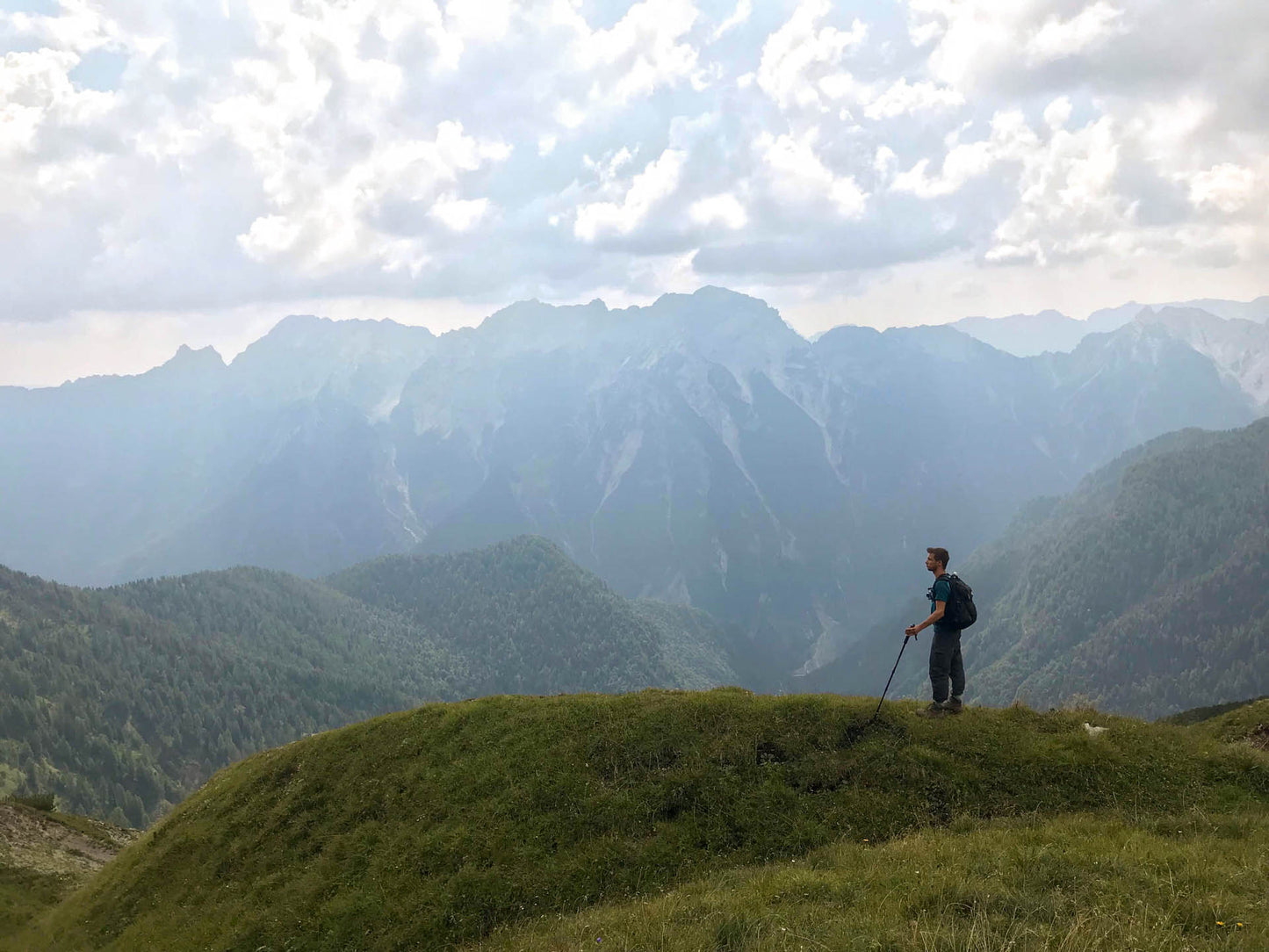
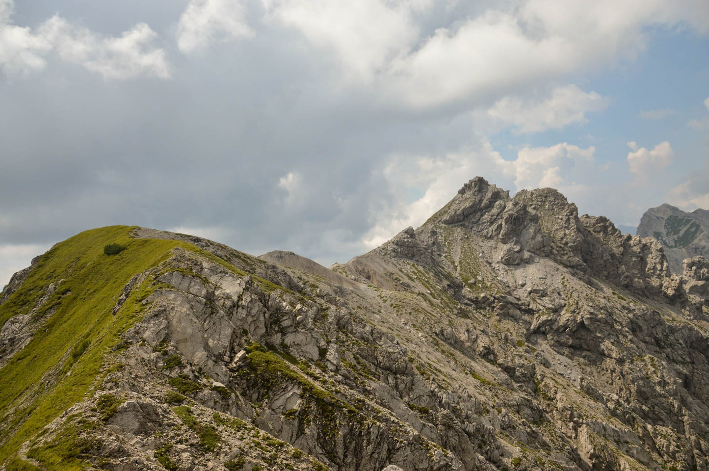
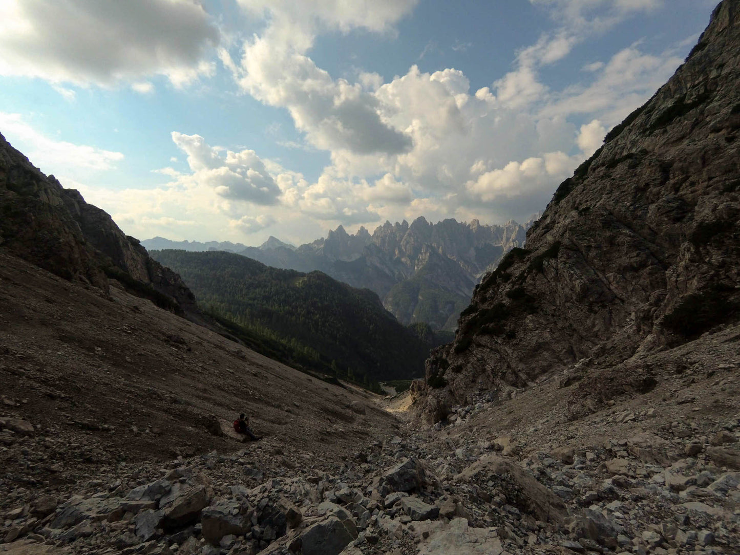
It is a long hike that ranges from gentle valleys to steep scree or rotten rocks. Good training and knowledge of the route is required.
🏔 Curiosities of the place
🏔 Curiosities of the place
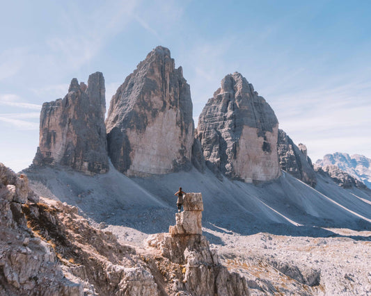
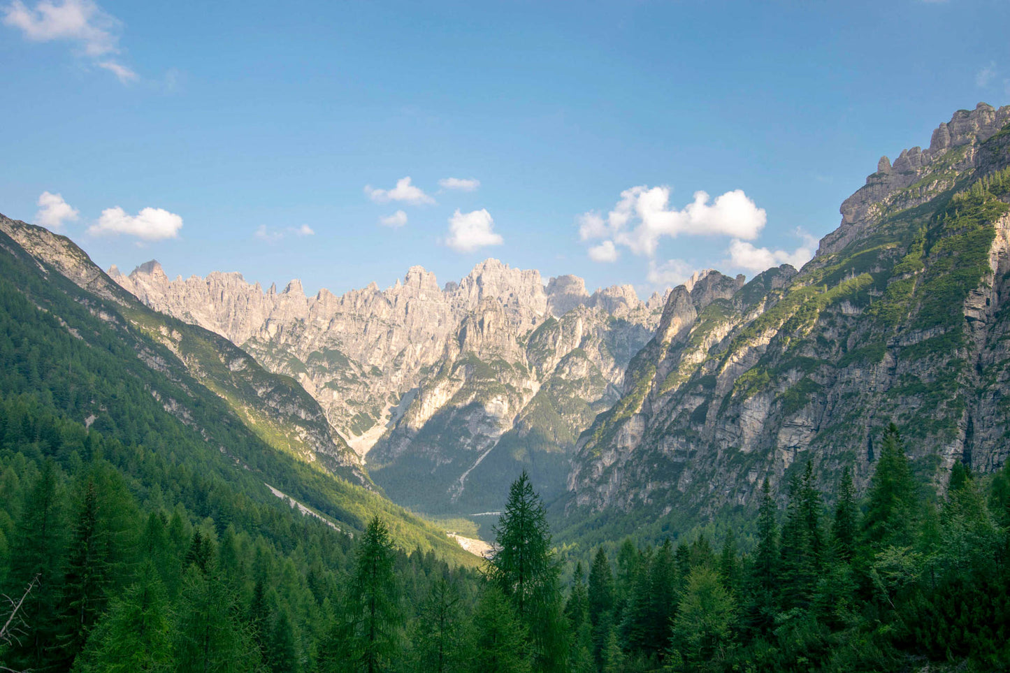
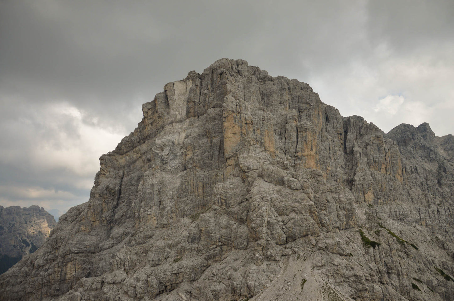
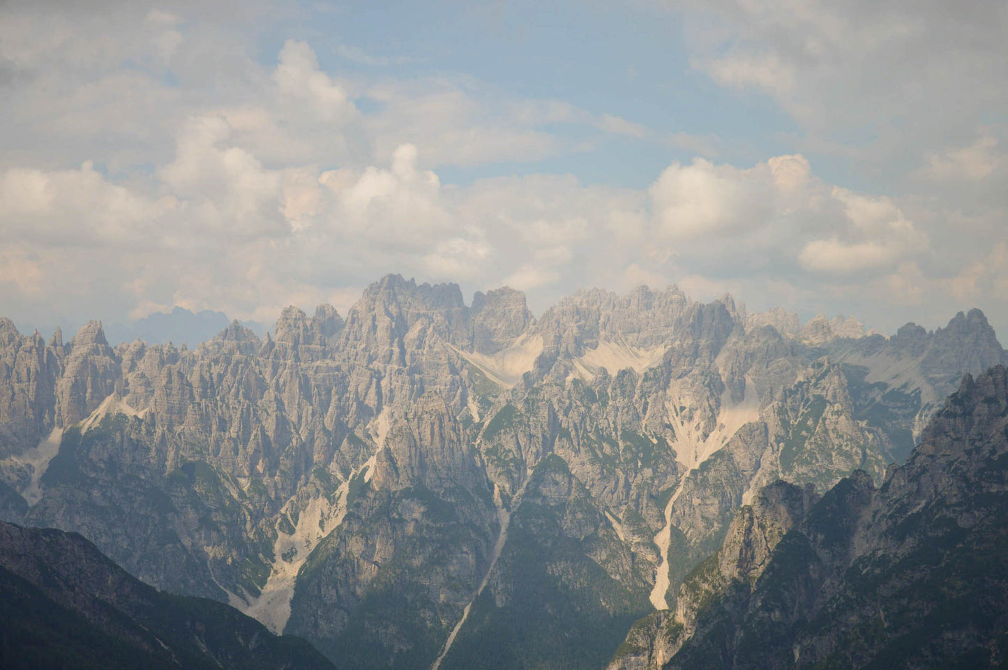
In the Friulian Dolomites Park we find a wild and exclusive excursion, the Cime Postegae are composed of three main peaks and are located in the central node of the Pramaggiore group, between the latter and Monte Ferrara, with which the ring itself closes.
🎯 Practical advice
🎯 Practical advice
In your backpack bring some water (you'll be on the ridge in the sun), a good sandwich and some good snacks.
On the way down the path was covered by a large landslide, go down with a sure step and continue towards the valley along the scree.
On the way down the path was covered by a large landslide, go down with a sure step and continue towards the valley along the scree.
Information
Path
Code: CAI 362
Distance: 13.5 km
Duration: 4 hours and 34 minutes
Elevation difference: 1250.0 meters d+
Parking
Location: Pordenone Refuge
Altitude: 1249 m
Phone: +39 0427 87300
Email: info@rifugiopordenone.it
Site: https://www.rifugiopordenone.it/
Arrive
Location: Cima Postegae
Altitude: 2383 m
Phone:
Email:
Site:
Period
Season: Summer
Resources and useful links to help you plan your excursion:
Summit Diary
Join those who love the mountains. Share your experience and help others live a unique adventure, respecting and preserving nature. Your opinion makes the difference.
Discover other itineraries
-
Snowshoeing to the Dibona Refuge
📍 Cortina d'Ampezzo, BLSimple, T -
Excursion to Cima Socede
📍 Scurelle, TNIntermedia, AND AND -
Snowshoeing at Baita Angelini
📍 Pralongo, BLIntermedia, AND AND -
Circular walk of the Three Peaks of Lavaredo
📍 Auronzo of Cadore, BLSimple, E


