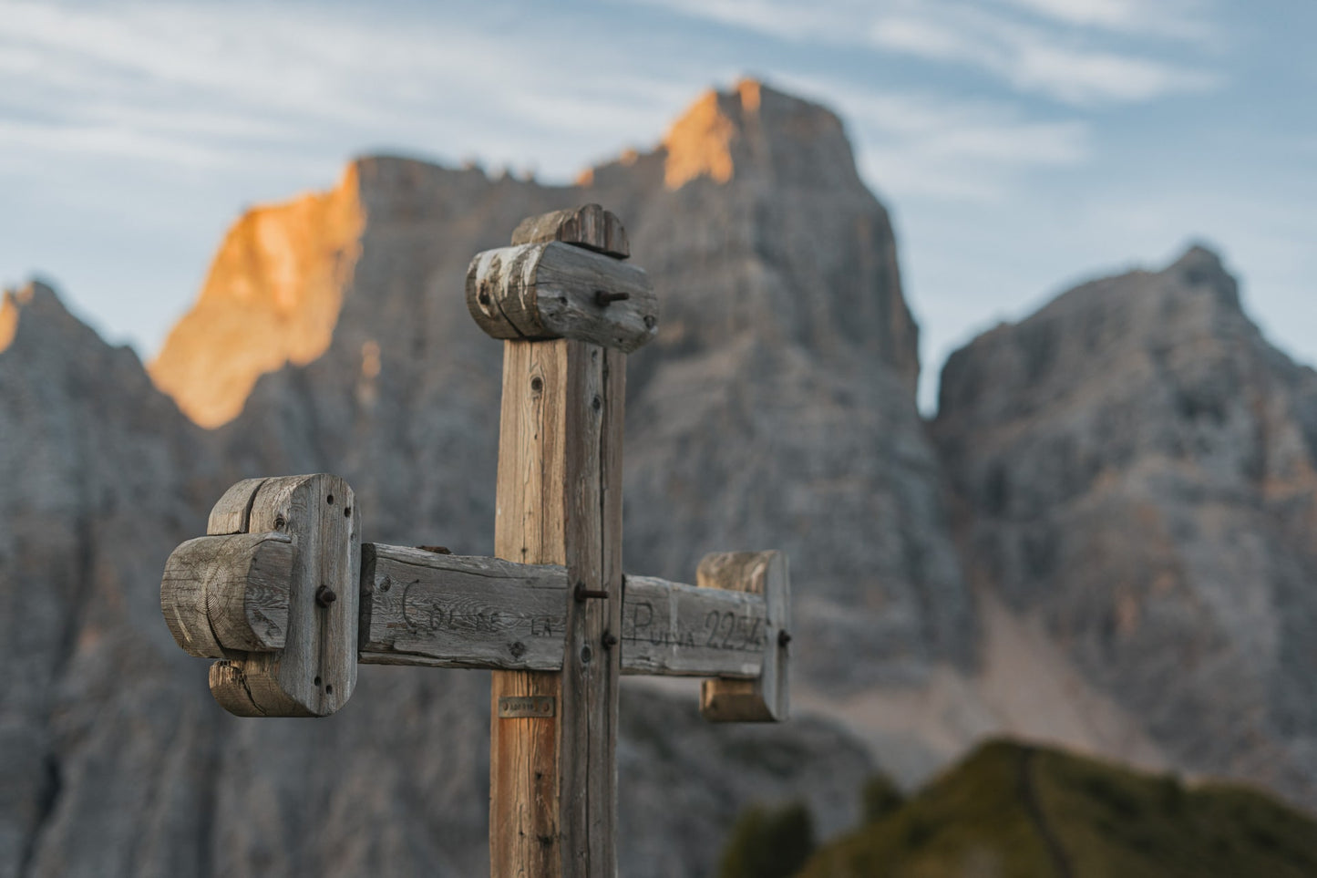
Excursion to Col de la Puina 🚶🏼♀️
Excursion to Col de la Puina
1
/
of
8
Compartir
 Curated by Elisa . Mountain Guides.
🗺️ Where is it located?
🗺️ Where is it located?
Region: Veneto
Province: BL
Municipality: Staulanza Pass
⛰️ Who is it suitable for?
⛰️ Who is it suitable for?
Difficulty Simple , code E .
🤩 What are we doing?
🤩 What are we doing?
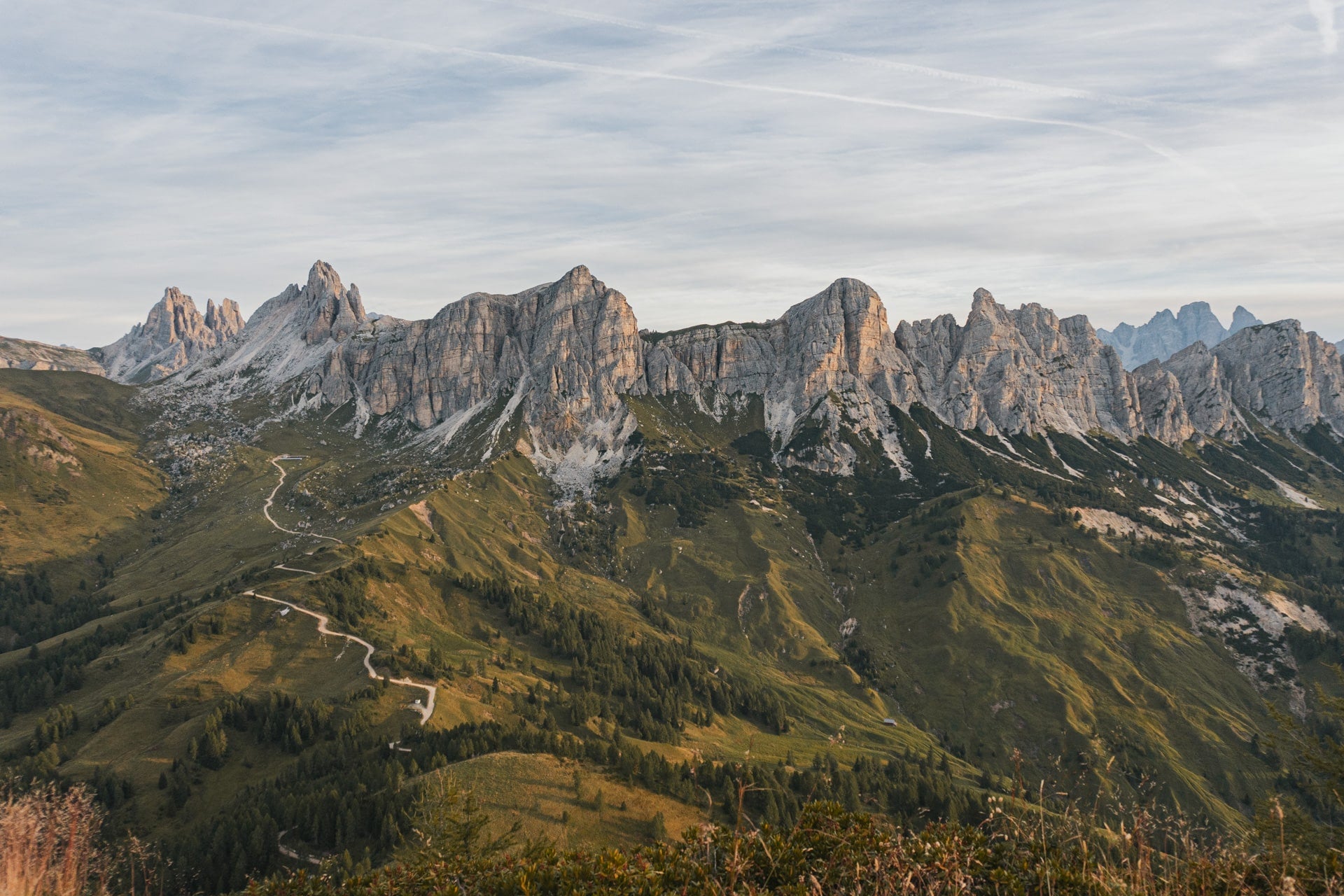
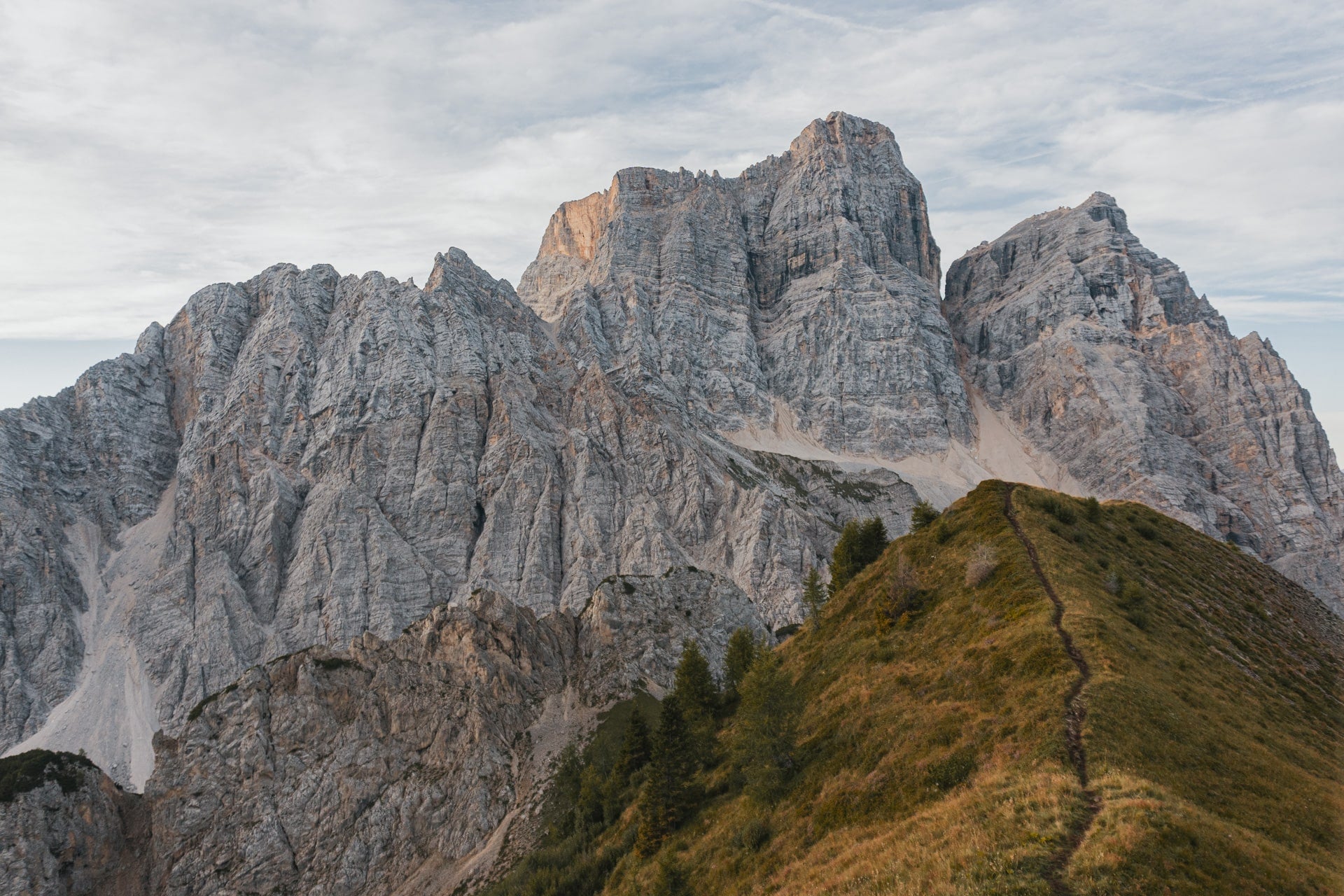
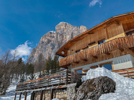
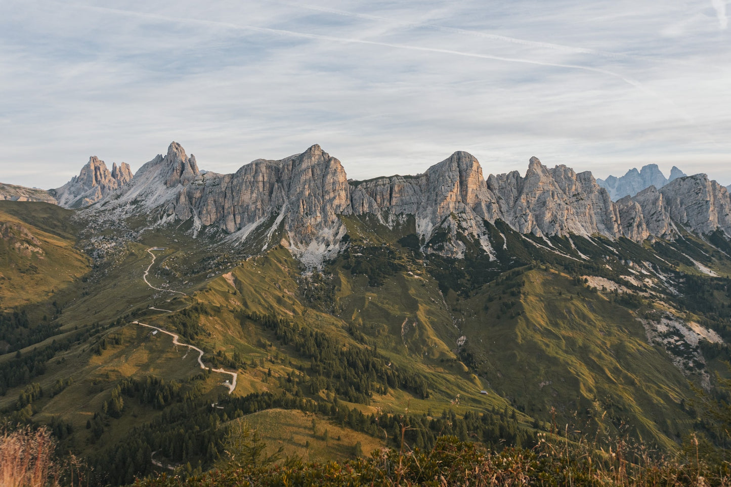
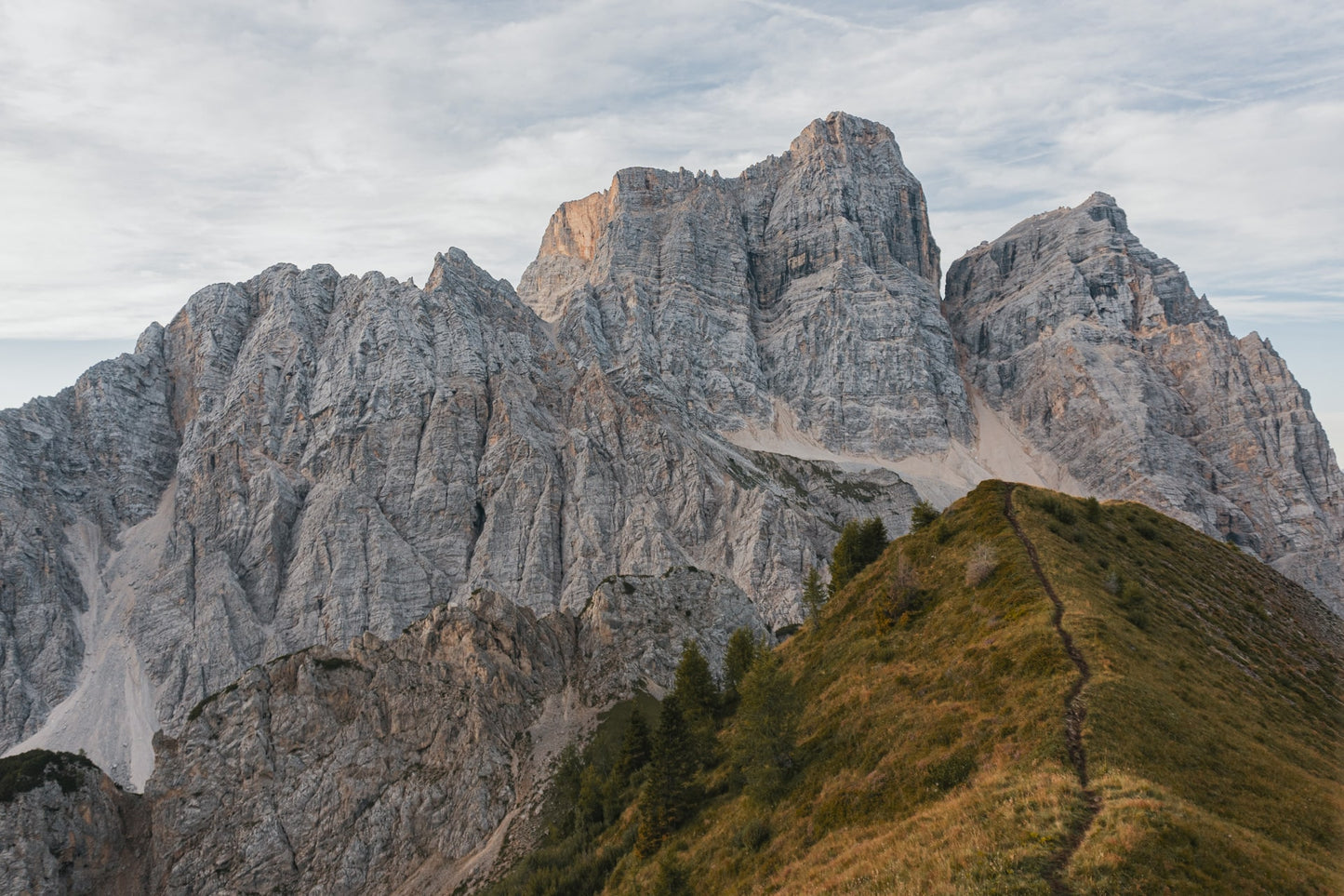
Simple circular hike that, passing by the Rifugio Città di Fiume (signpost 467), leads to Col de La Puina. The first part of the hike is on an easy road. After that, an unmarked trail branches off to the right (red stake on the grass) and the slopes increase, but never become excessive, until the top.
🏔 Curiosities of the place
🏔 Curiosities of the place
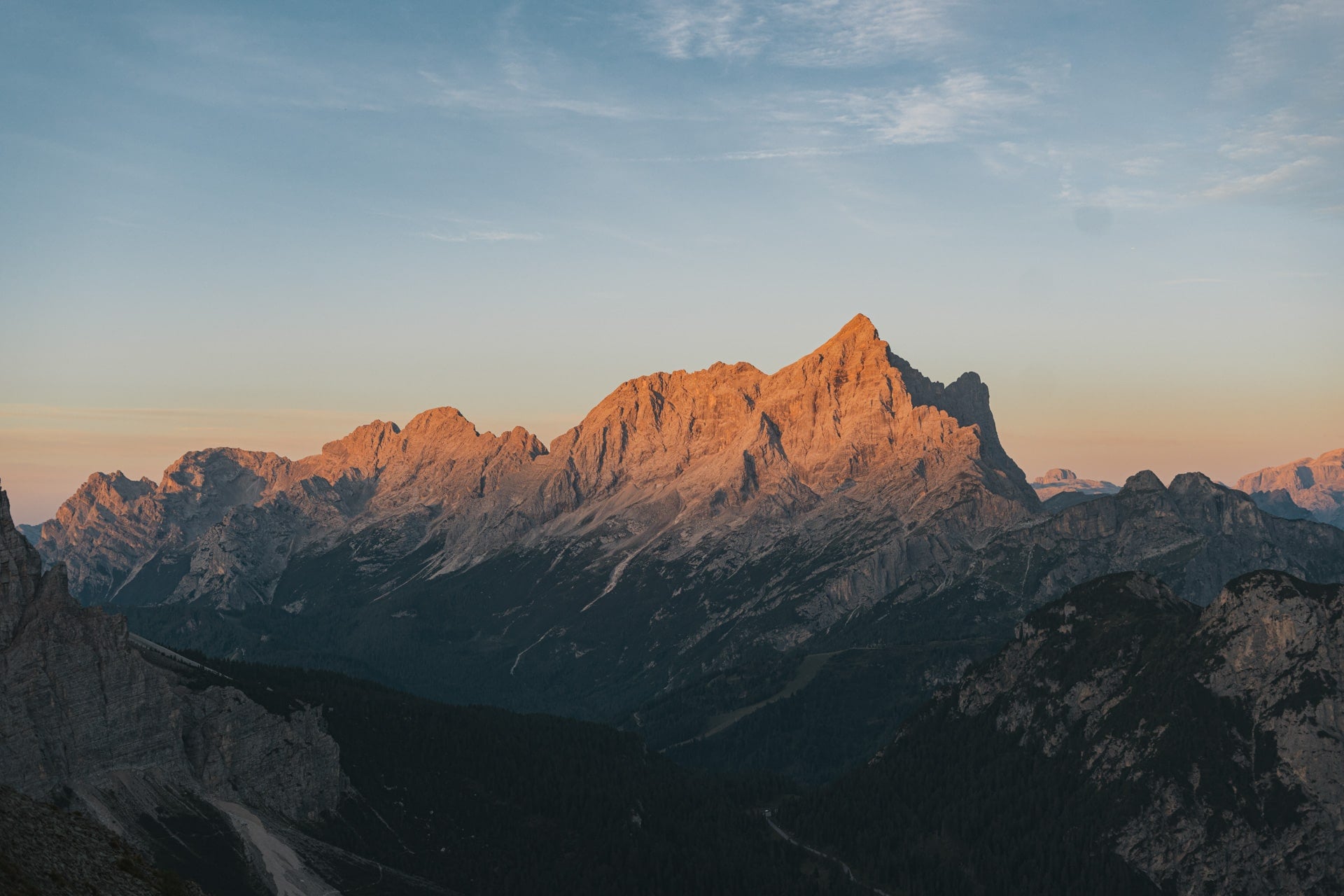
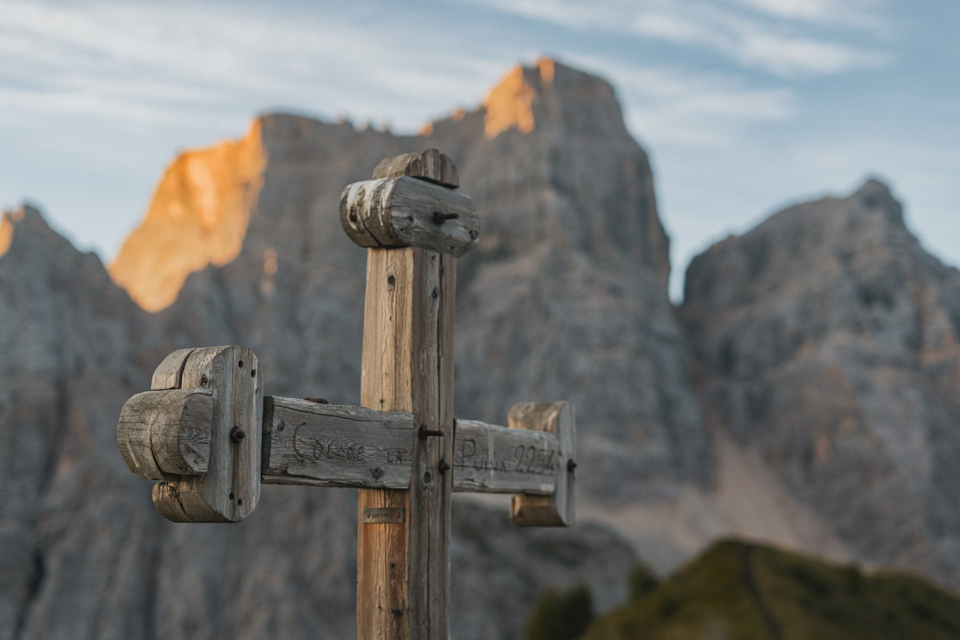
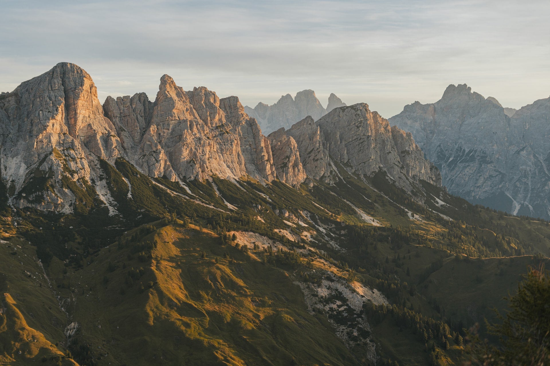
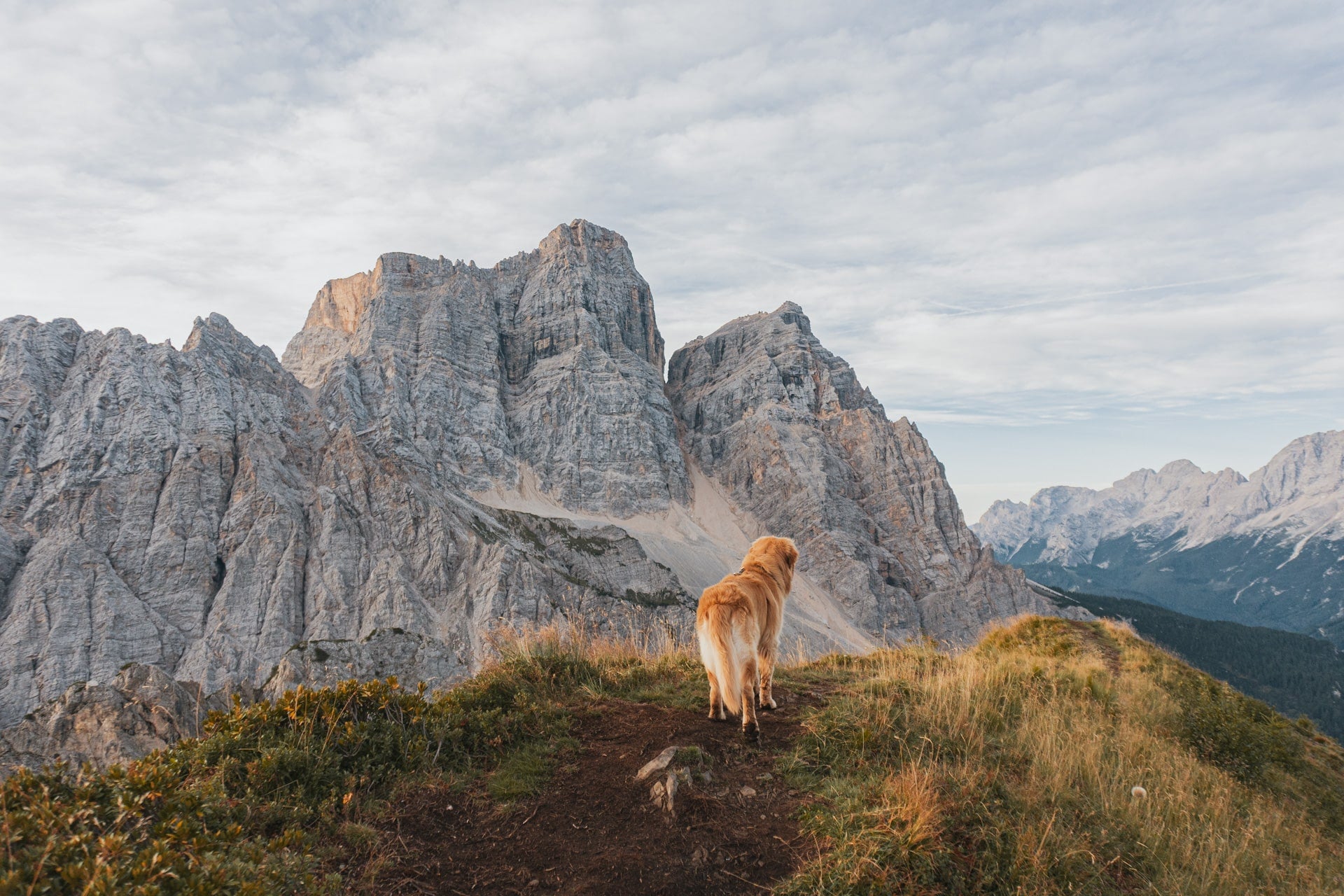
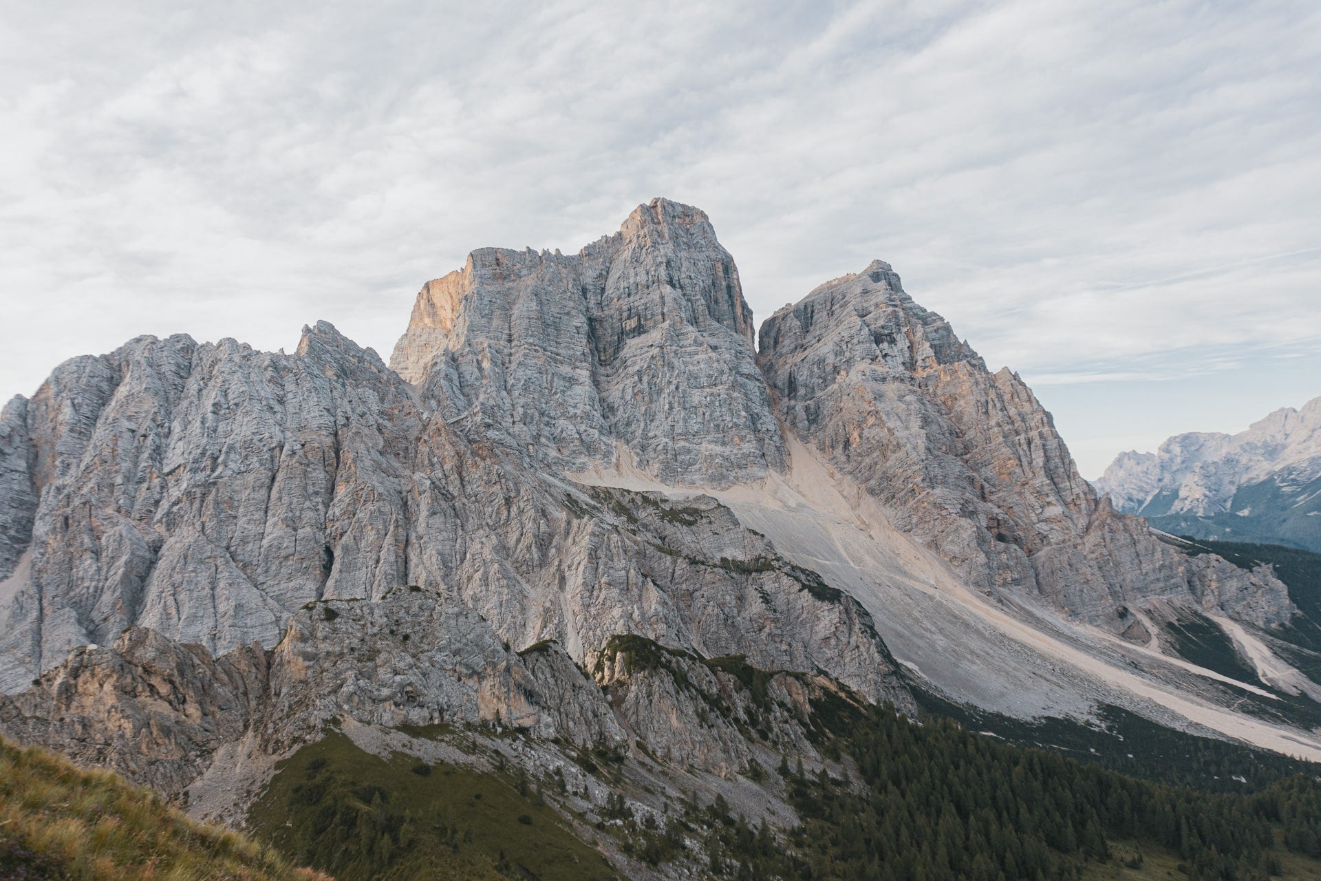
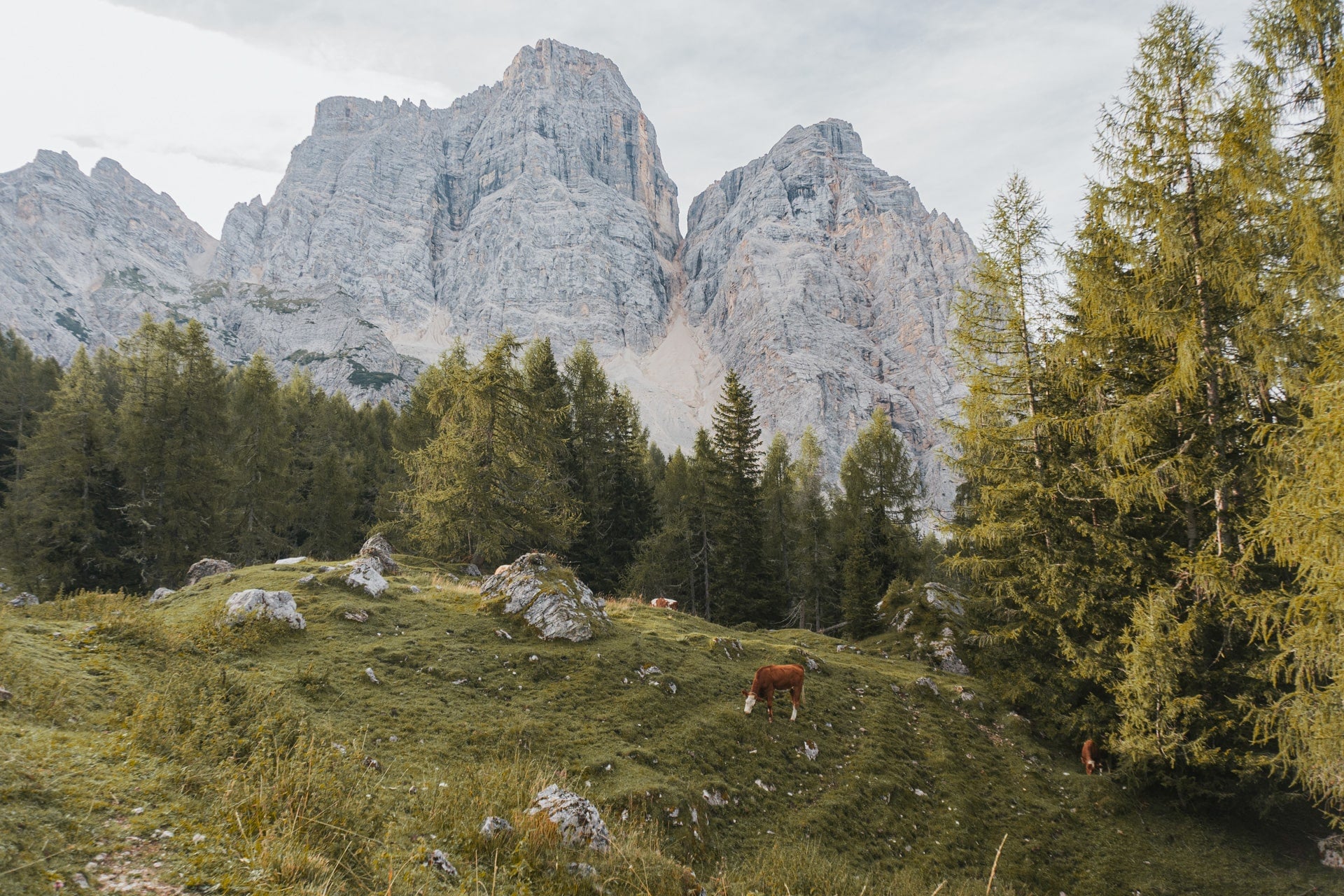
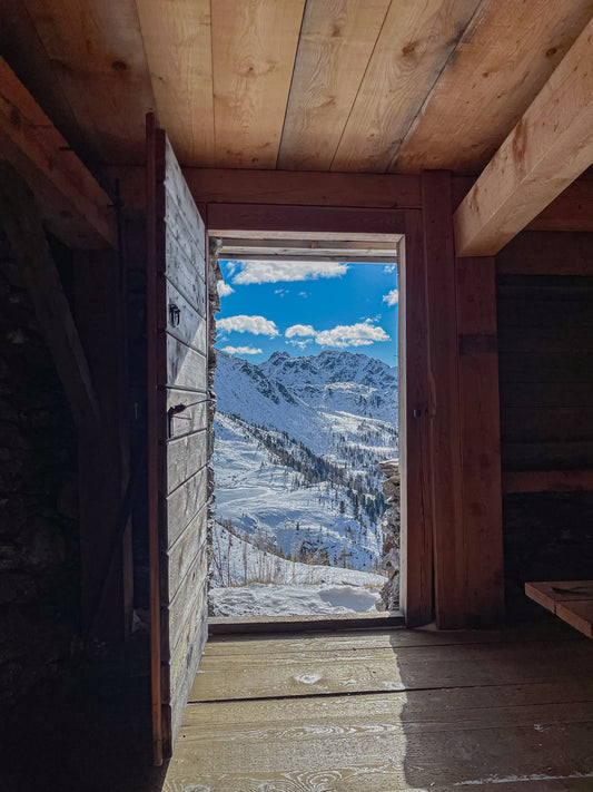
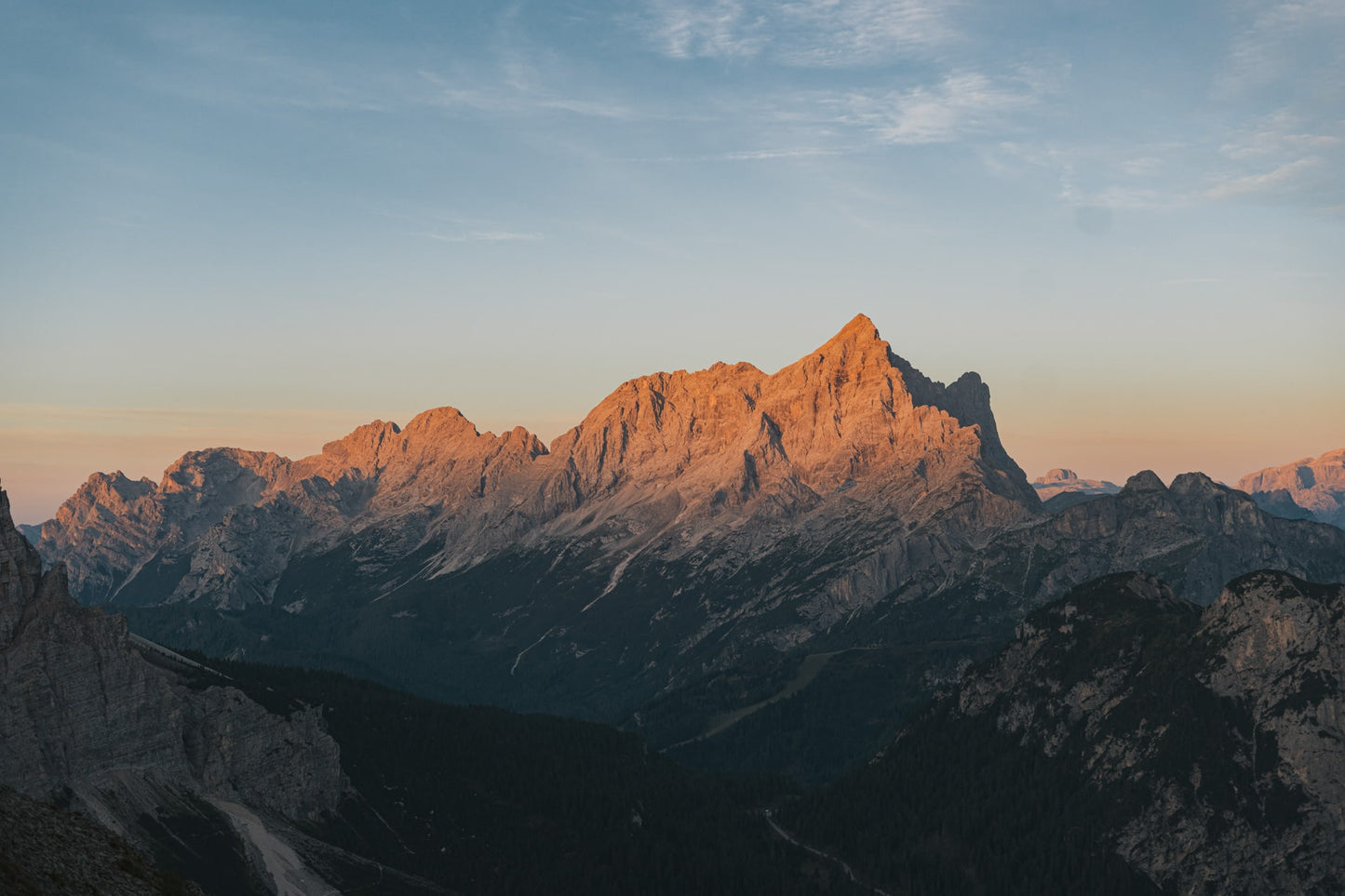
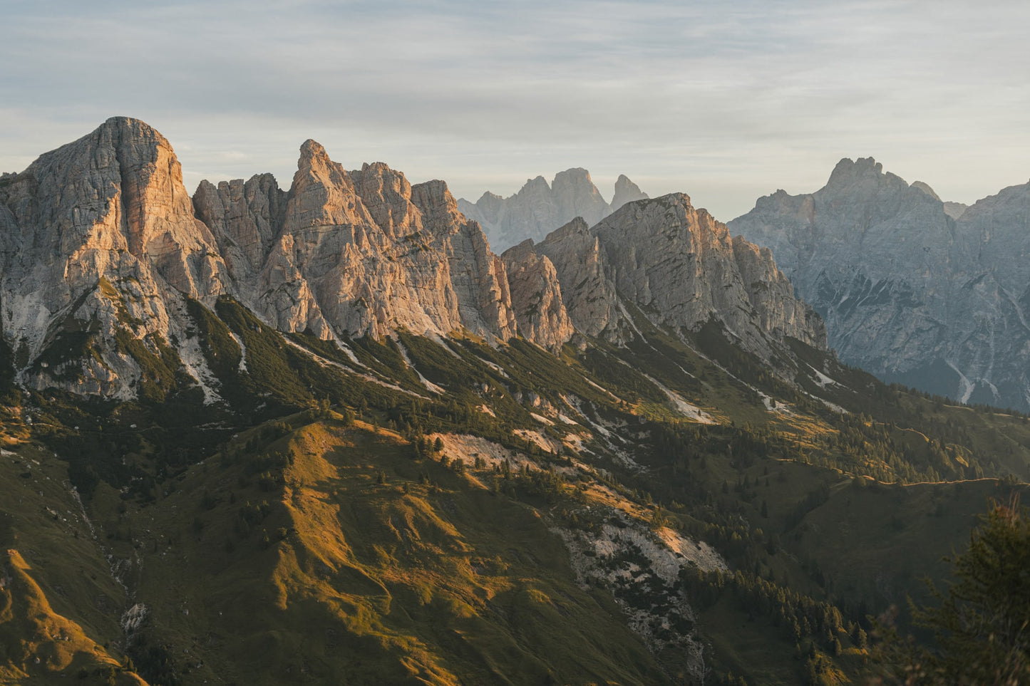
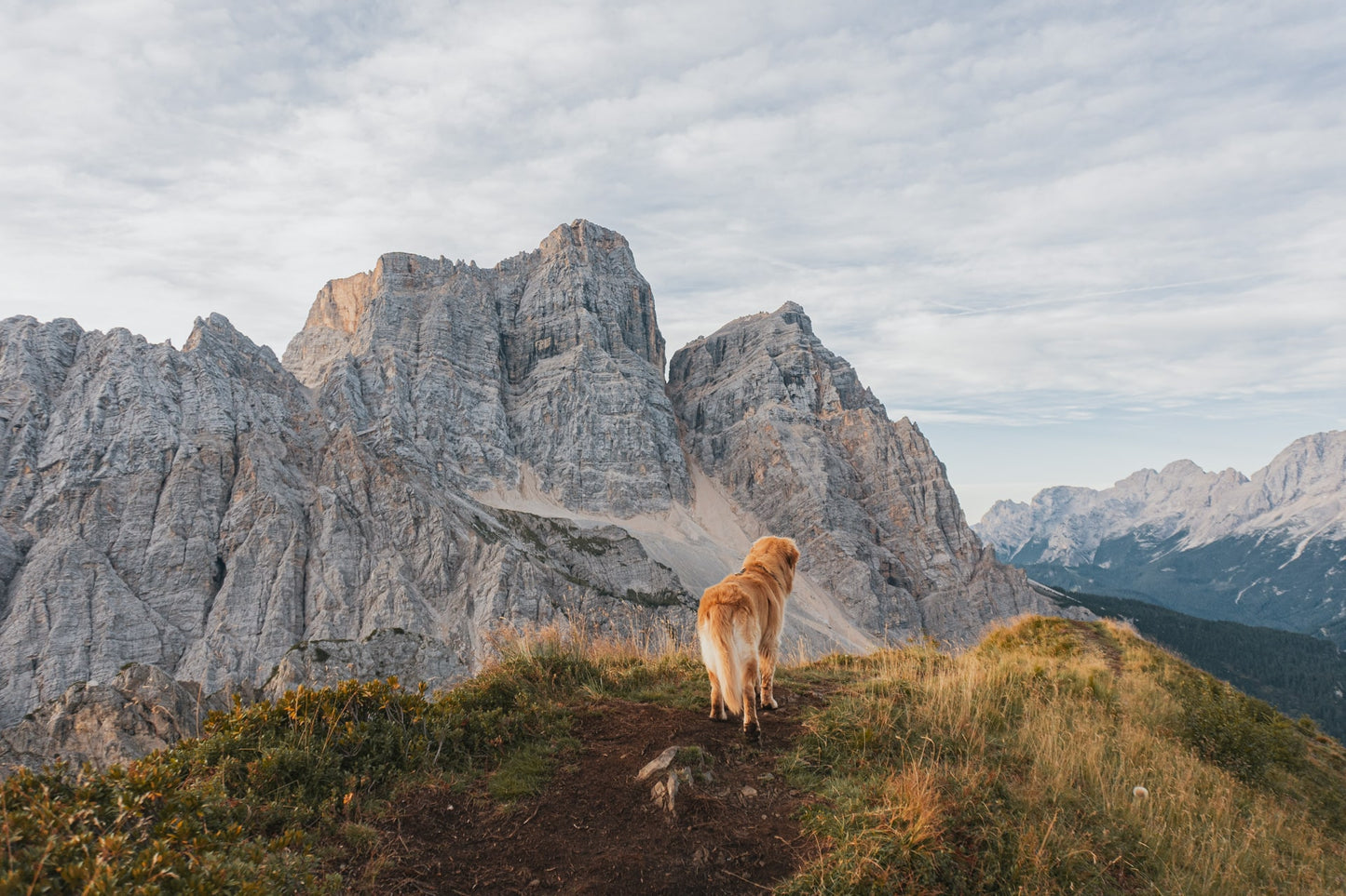
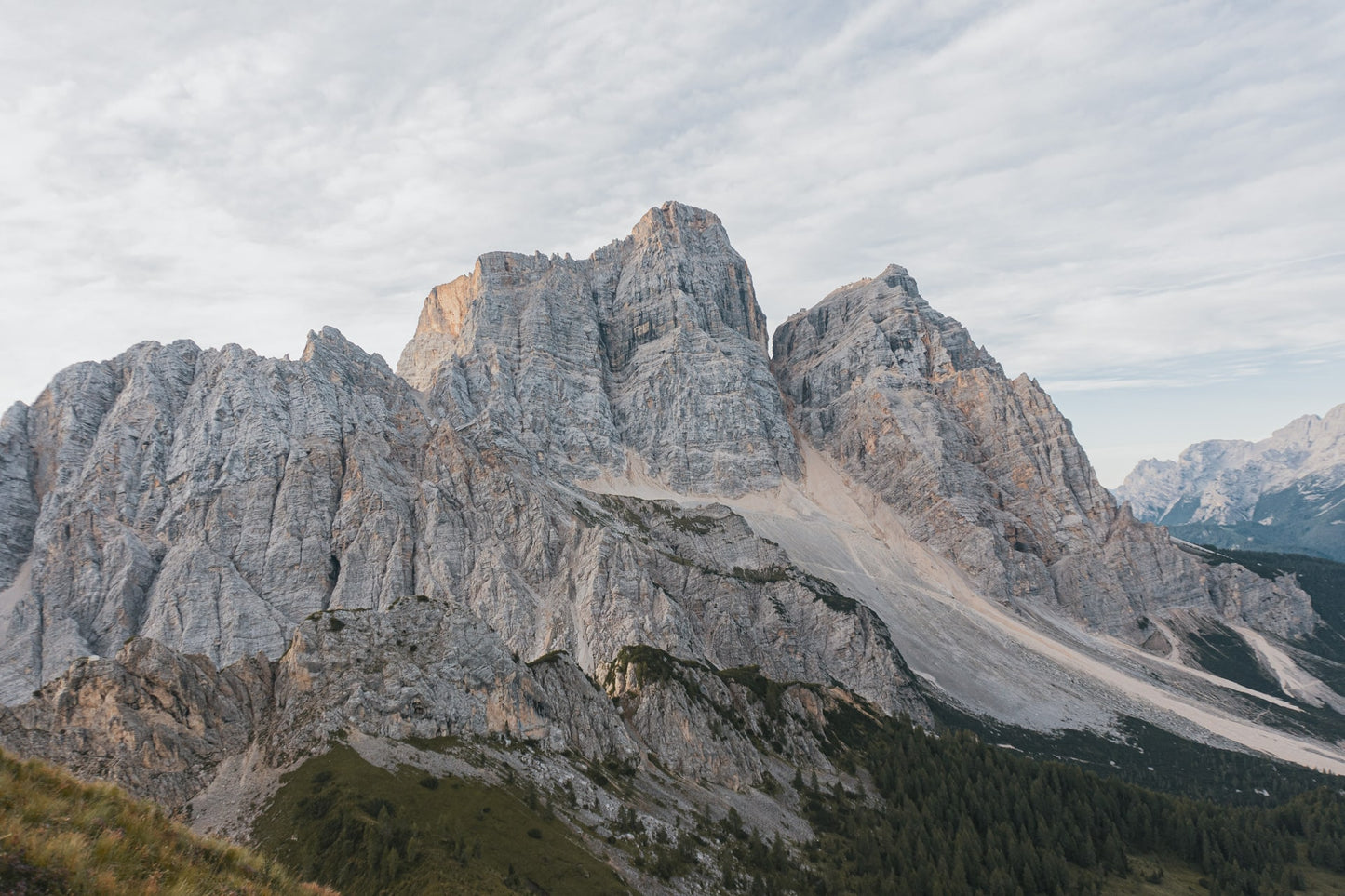
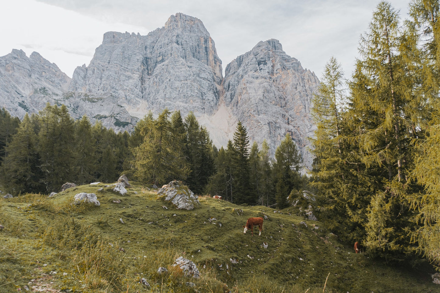
We are in the Belluno Dolomites, in Veneto. Col de la Puina is a perfect panoramic point to admire all the beauty of Mount Pelmo. But not only that: once you arrive you can admire Antelao, Sorapiss, Cernera and Lastoni di Formin.
🎯 Practical advice
🎯 Practical advice
From the Rifugio Città di Fiume, we recommend following trail sign 472 which, along a path in the woods, will take you back to the starting point.
Information
Path
Code: CAI 467 - 472
Distance: 6.9 km
Duration: 1 hour and 50 minutes
Elevation difference: 590.0 meters d+
Parking
Location: City of Fiume Refuge Parking
Altitude: 1678 m
Phone:
Email:
Site:
Arrive
Location: Puina Pass
Altitude: 2188 m
Phone:
Email:
Site:
Period
Season: Summer
Resources and useful links to help you plan your excursion:
Summit Diary
Join those who love the mountains. Share your experience and help others live a unique adventure, respecting and preserving nature. Your opinion makes the difference.
Discover other itineraries
-
Snowshoeing to the Dibona Refuge
📍 Cortina d'Ampezzo, BLSimple, T -
Excursion to Cima Socede
📍 Scurelle, TNIntermedia, AND AND -
Snowshoeing at Baita Angelini
📍 Pralongo, BLIntermedia, AND AND -
Circular walk of the Three Peaks of Lavaredo
📍 Auronzo of Cadore, BLSimple, E

