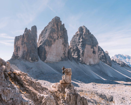
Excursion to Mount Ferrara 🚶🏼♀️
Excursion to Mount Ferrara
1
/
of
9
Compartir
 Curated by Manuela . Mountain Guides.
🗺️ Where is it located?
🗺️ Where is it located?
Region: Friuli-Venezia-Giulia
Province: PN
Municipality: Cimolais
⛰️ Who is it suitable for?
⛰️ Who is it suitable for?
Difficulty Intermedia , code AND AND .
🤩 What are we doing?
🤩 What are we doing?
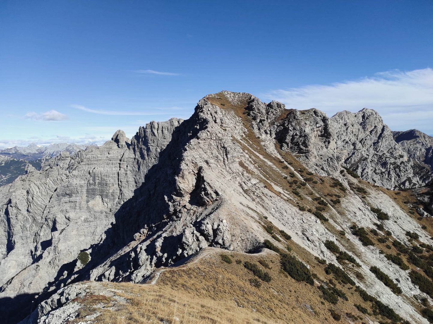
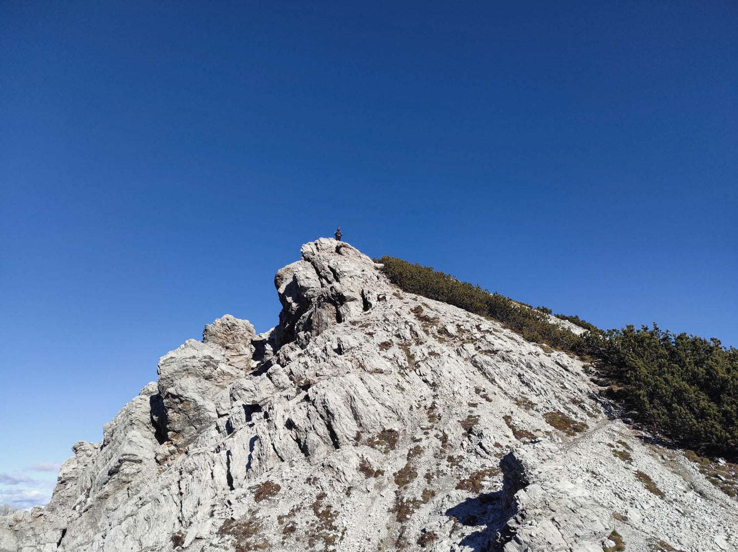
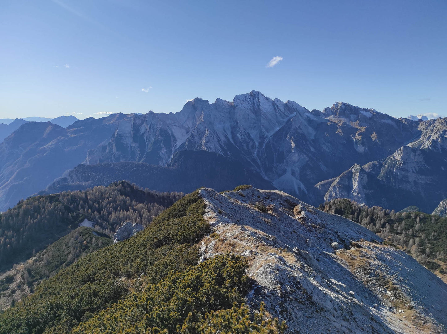
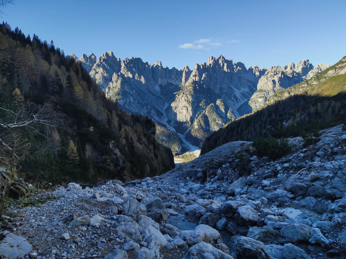
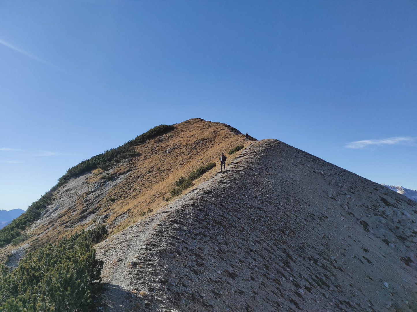
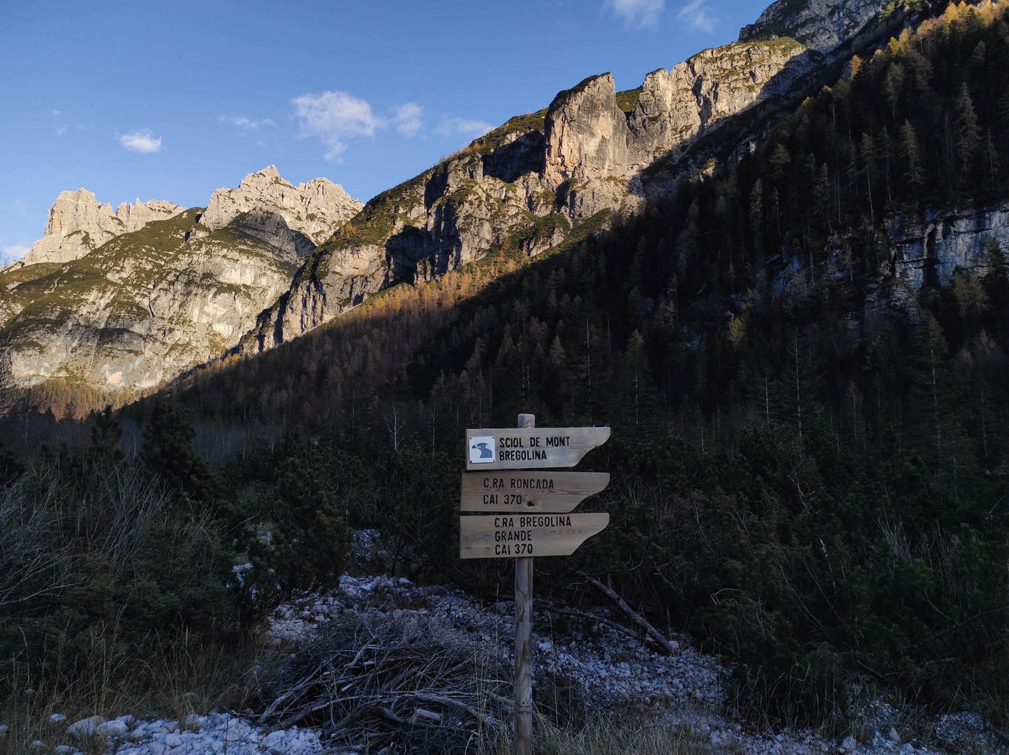
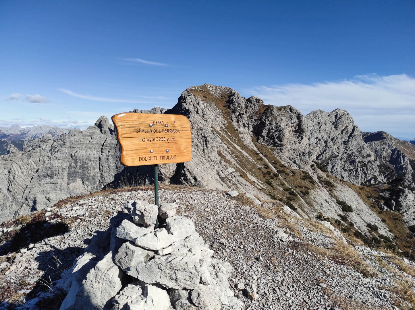
Beautiful hike, panoramically very rewarding. There are no technical difficulties to climb to the top, the path is sometimes steep and can be tiring after the long approach from Val Cimoliana.
🏔 Curiosities of the place
🏔 Curiosities of the place
Mount Ferrara is centrally located in the Friulian Dolomites Park and its ascent offers a splendid view of the peaks of the park and of the Campanile di Val Montanaia in particular.
🎯 Practical advice
🎯 Practical advice
If done in summer use sunscreen and bring fresh water in your backpack. In winter access to Val Cimoliana is closed. Check with the Municipality of Cimolais whether or not transit is possible.
Information
Path
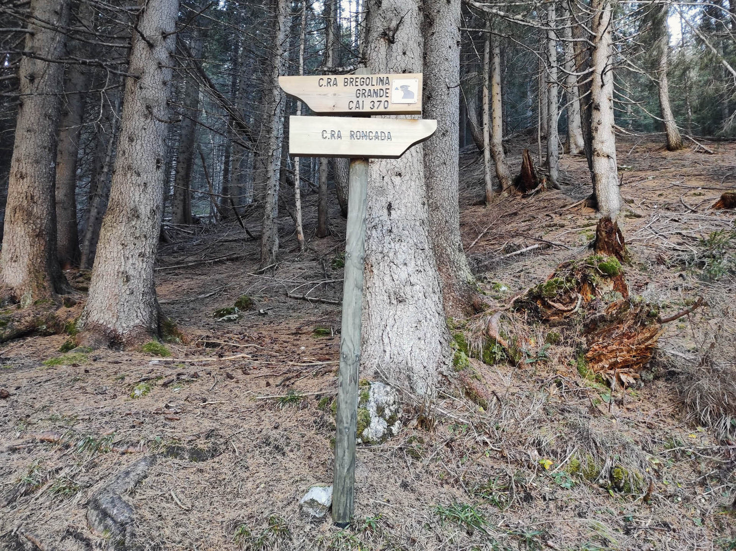
Code: CAI 370
Distance: 10.8 km
Duration: 5 hours and 55 minutes
Elevation difference: 1030.0 meters d+
Parking
Location: Pian Meluzzo
Altitude: 1163 m
Phone:
Email:
Site:
Arrive
Location: Mount Ferrara
Altitude: 2258 m
Phone:
Email:
Site:
Period
Season: Summer
Resources and useful links to help you plan your excursion:
Summit Diary
Join those who love the mountains. Share your experience and help others live a unique adventure, respecting and preserving nature. Your opinion makes the difference.
Discover other itineraries
-
Snowshoeing to the Dibona Refuge
📍 Cortina d'Ampezzo, BLSimple, T -
Excursion to Cima Socede
📍 Scurelle, TNIntermedia, AND AND -
Snowshoeing at Baita Angelini
📍 Pralongo, BLIntermedia, AND AND -
Circular walk of the Three Peaks of Lavaredo
📍 Auronzo of Cadore, BLSimple, E


